Area Overview for HP6 6LD
Photos of HP6 6LD
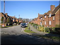
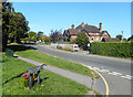
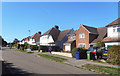
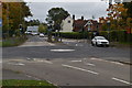
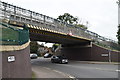
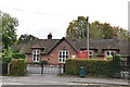
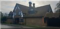
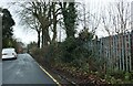
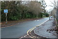
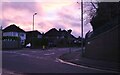
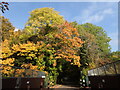
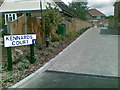
32 photos from this area
Area Information
Key information about the HP6 6LD including its size, population, and administrative classification.
- Area Type
- Postcode
- Area Size
- 9734 m²
- Population
- 1687
- Population Density
- 4454 people/km²
House Prices in HP6 6LD
28
Properties
£332,830
Average Sold Price
£72,000
Lowest Price
£710,000
Highest Price
Showing 28 properties
| Address | Type | Beds | Baths | Last Sale Price | Last Sale Date | |
|---|---|---|---|---|---|---|
| 8 New Road, Amersham, HP6 6LD | Terraced | 2 | 1 | £430,000 | Oct 2025 | |
| Avondale, 24 New Road, Amersham, HP6 6LD | Semi-detached | 3 | 1 | £635,000 | Mar 2024 | |
| 10 New Road, Amersham, HP6 6LD | Terraced | 3 | 1 | £473,000 | Oct 2022 | |
| Pergola, 20 New Road, Amersham, HP6 6LD | house | - | - | £570,000 | Oct 2020 | |
| 31 New Road, Amersham, HP6 6LD | Maisonette | 1 | - | £230,000 | Feb 2020 | |
| 19B New Road, Amersham, HP6 6LD | Bungalow | 4 | 2 | £710,000 | Sep 2019 | |
| 16 New Road, Amersham, HP6 6LD | house | 3 | - | £514,100 | Jul 2017 | |
| 35B New Road, Amersham, HP6 6LD | Flat | - | - | £165,000 | Jun 2012 | |
| 35A New Road, Amersham, HP6 6LD | Flat | - | - | £185,000 | Sep 2011 | |
| 34 New Road, Amersham, HP6 6LD | house | - | - | £290,000 | Oct 2010 |
Page 1 of 3
Energy Efficiency in HP6 6LD
Amenities
Schools
| Rank | School | Type | Entry gender | Ages |
|---|
Explore more schools in this area
Go to Schools tabDemographics
Household Size
Family (3-5 people)
most common
Accommodation Type
Houses
most common
Tenure
64
majority
Ethnic Group
White
most common
Religion
N/A
most common
Household Composition
N/A
most common
Age
47
median
Adults (30-64 years)
most common
Household Deprivation
N/A
with no deprivation
NS-SEC
48
in Lower managerial occupations
Explore more demographic insights in this area
Go to Demographics tabPlanning
Planning Constraints
- Flood RiskPremium
- Ramsar Wetland SitesPremium
- Area of Outstanding Natural BeautyPremium
- Protected Nature ReservePremium
- Protected WoodlandPremium