Area Overview for HP6 5RD
Photos of HP6 5RD
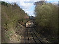
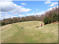
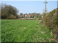

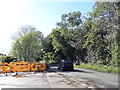
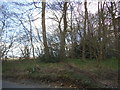
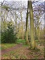
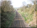
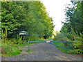
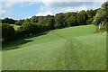
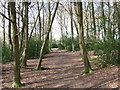
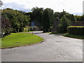
14 photos from this area
Area Information
Key information about the HP6 5RD including its size, population, and administrative classification.
- Area Type
- Postcode
- Area Size
- 1.5 hectares
- Population
- 1323
- Population Density
- 222 people/km²
House Prices in HP6 5RD
26
Properties
£512,144
Average Sold Price
£139,950
Lowest Price
£760,000
Highest Price
Showing 26 properties
| Address | Type | Beds | Baths | Last Sale Price | Last Sale Date | |
|---|---|---|---|---|---|---|
| 12 Harvest Bank, Hyde Heath, HP6 5RD | Detached | 4 | 2 | £690,000 | Mar 2025 | |
| 4 Harvest Bank, Hyde Heath, HP6 5RD | Detached | 4 | 1 | £695,000 | Jan 2025 | |
| 8 Harvest Bank, Hyde Heath, HP6 5RD | Detached | 4 | 1 | £735,000 | Sep 2024 | |
| 7 Harvest Bank, Hyde Heath, HP6 5RD | house | - | - | £745,000 | Mar 2022 | |
| 21 Harvest Bank, Hyde Heath, HP6 5RD | house | - | - | £760,000 | May 2021 | |
| 1 Harvest Bank, Hyde Heath, HP6 5RD | Detached | 4 | 1 | £580,000 | Nov 2020 | |
| 10 Harvest Bank, Hyde Heath, HP6 5RD | Detached | 4 | - | £597,500 | Jul 2015 | |
| 2 Harvest Bank, Hyde Heath, HP6 5RD | Detached | 5 | - | £584,000 | Jun 2013 | |
| 19 Harvest Bank, Hyde Heath, HP6 5RD | house | 4 | - | £459,000 | Apr 2011 | |
| 30 Harvest Bank, Hyde Heath, HP6 5RD | house | - | - | £435,000 | Jun 2010 |
Page 1 of 3
Energy Efficiency in HP6 5RD
Amenities
Schools
| Rank | School | Type | Entry gender | Ages |
|---|
Explore more schools in this area
Go to Schools tabDemographics
Household Size
Two person
most common
Accommodation Type
Houses
most common
Tenure
79
majority
Ethnic Group
White
most common
Religion
N/A
most common
Household Composition
N/A
most common
Age
47
median
Adults (30-64 years)
most common
Household Deprivation
N/A
with no deprivation
NS-SEC
52
in Lower managerial occupations
Explore more demographic insights in this area
Go to Demographics tabPlanning
Planning Constraints
- Flood RiskPremium
- Ramsar Wetland SitesPremium
- Area of Outstanding Natural BeautyPremium
- Protected Nature ReservePremium
- Protected WoodlandPremium