Area Overview for HP6 5DD
Photos of HP6 5DD
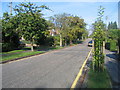
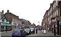
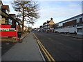
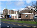
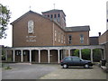
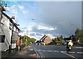
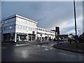
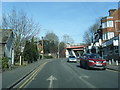
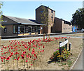
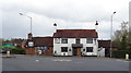
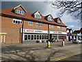
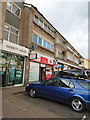
100 photos from this area
Area Information
Key information about the HP6 5DD including its size, population, and administrative classification.
- Area Type
- Postcode
- Area Size
- 3.0 hectares
- Population
- 1755
- Population Density
- 3508 people/km²
House Prices in HP6 5DD
33
Properties
£640,889
Average Sold Price
£185,000
Lowest Price
£1,100,000
Highest Price
Showing 33 properties
| Address | Type | Beds | Baths | Last Sale Price | Last Sale Date | |
|---|---|---|---|---|---|---|
| 23 Elm Close, Amersham, HP6 5DD | Semi-detached | 4 | 2 | £940,000 | May 2024 | |
| 27 Elm Close, Amersham, HP6 5DD | house | - | - | £1,100,000 | Nov 2021 | |
| 12 Elm Close, Amersham, HP6 5DD | Semi-detached | 4 | 2 | £995,000 | Oct 2019 | |
| 21 Elm Close, Amersham, HP6 5DD | Semi-detached | 4 | - | £865,000 | Jul 2019 | |
| 8 Elm Close, Amersham, HP6 5DD | Detached | 4 | 2 | £1,050,000 | Apr 2019 | |
| 11 Elm Close, Amersham, HP6 5DD | Semi-detached | 4 | 2 | £980,000 | Dec 2017 | |
| 16 Elm Close, Amersham, HP6 5DD | Semi-detached | 4 | 1 | £840,000 | May 2017 | |
| 29 Elm Close, Amersham, HP6 5DD | Semi-detached | 4 | - | £821,600 | Jun 2015 | |
| 24 Elm Close, Amersham, HP6 5DD | Semi-detached | 4 | - | £750,000 | Apr 2015 | |
| 30 Elm Close, Amersham, HP6 5DD | Semi-detached | 4 | 2 | £542,000 | May 2013 |
Page 1 of 4
Energy Efficiency in HP6 5DD
Amenities
Schools
| Rank | School | Type | Entry gender | Ages |
|---|
Explore more schools in this area
Go to Schools tabDemographics
Household Size
Two person
most common
Accommodation Type
Houses
most common
Tenure
69
majority
Ethnic Group
White
most common
Religion
N/A
most common
Household Composition
N/A
most common
Age
47
median
Adults (30-64 years)
most common
Household Deprivation
N/A
with no deprivation
NS-SEC
54
in Lower managerial occupations
Explore more demographic insights in this area
Go to Demographics tabPlanning
Planning Constraints
- Flood RiskPremium
- Ramsar Wetland SitesPremium
- Area of Outstanding Natural BeautyPremium
- Protected Nature ReservePremium
- Protected WoodlandPremium