Area Overview for HP5 3LZ
Photos of HP5 3LZ
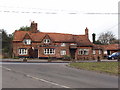
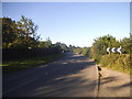
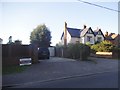
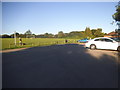

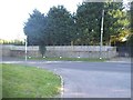
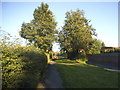
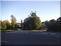
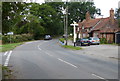
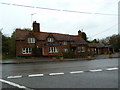
17 photos from this area
Area Information
Key information about the HP5 3LZ including its size, population, and administrative classification.
- Area Type
- Postcode
- Area Size
- 8.5 hectares
- Population
- 1483
- Population Density
- 1217 people/km²
House Prices in HP5 3LZ
39
Properties
£454,464
Average Sold Price
£125,000
Lowest Price
£755,000
Highest Price
Showing 39 properties
| Address | Type | Beds | Baths | Last Sale Price | Last Sale Date | |
|---|---|---|---|---|---|---|
| 45 Codmore Crescent, Chesham, HP5 3LZ | Bungalow | 2 | 1 | £665,000 | Sep 2025 | |
| 34 Codmore Crescent, Chesham, HP5 3LZ | Bungalow | - | - | £635,000 | Oct 2021 | |
| 23 Codmore Crescent, Chesham, HP5 3LZ | Bungalow | - | - | £755,000 | Oct 2021 | |
| 36 Codmore Crescent, Chesham, HP5 3LZ | Bungalow | 3 | 1 | £675,000 | Sep 2021 | |
| 40 Codmore Crescent, Chesham, HP5 3LZ | Bungalow | 2 | - | £540,000 | Jun 2019 | |
| 22 Codmore Crescent, Chesham, HP5 3LZ | Bungalow | 3 | 1 | £565,000 | Jul 2018 | |
| 38 Codmore Crescent, Chesham, HP5 3LZ | Bungalow | 4 | - | £700,000 | Jan 2018 | |
| 31 Codmore Crescent, Chesham, HP5 3LZ | Bungalow | 3 | - | £690,000 | Apr 2017 | |
| 18 Codmore Crescent, Chesham, HP5 3LZ | Bungalow | 3 | - | £580,000 | Mar 2017 | |
| 53 Codmore Crescent, Chesham, HP5 3LZ | Bungalow | 3 | 2 | £575,000 | Dec 2015 |
Page 1 of 4
Energy Efficiency in HP5 3LZ
Amenities
Schools
| Rank | School | Type | Entry gender | Ages |
|---|
Explore more schools in this area
Go to Schools tabDemographics
Household Size
Family (3-5 people)
most common
Accommodation Type
Houses
most common
Tenure
91
majority
Ethnic Group
White
most common
Religion
N/A
most common
Household Composition
N/A
most common
Age
47
median
Adults (30-64 years)
most common
Household Deprivation
N/A
with no deprivation
NS-SEC
40
in Lower managerial occupations
Explore more demographic insights in this area
Go to Demographics tabPlanning
Planning Constraints
- Flood RiskPremium
- Ramsar Wetland SitesPremium
- Area of Outstanding Natural BeautyPremium
- Protected Nature ReservePremium
- Protected WoodlandPremium