Area Overview for HP5 2SJ
Photos of HP5 2SJ
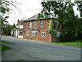
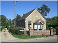
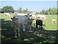
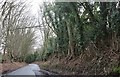
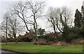
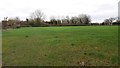
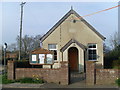
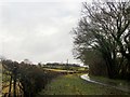
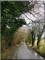
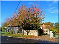
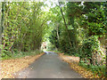
16 photos from this area
Area Information
Key information about the HP5 2SJ including its size, population, and administrative classification.
- Area Type
- Postcode
- Area Size
- 12.4 hectares
- Population
- 2260
- Population Density
- 144 people/km²
House Prices in HP5 2SJ
39
Properties
£544,790
Average Sold Price
£124,950
Lowest Price
£1,090,000
Highest Price
Showing 39 properties
| Address | Type | Beds | Baths | Last Sale Price | Last Sale Date | |
|---|---|---|---|---|---|---|
| 434 Chartridge Lane, Chartridge, HP5 2SJ | house | - | - | £1,090,000 | Feb 2016 | |
| Holgen, 372A Chartridge Lane, Chartridge, HP5 2SJ | Detached | 4 | - | £820,000 | Sep 2015 | |
| 386 Chartridge Lane, Chartridge, HP5 2SJ | Detached | - | - | £525,000 | Jul 2002 | |
| Hylands, 360 Chartridge Lane, Chartridge, HP5 2SJ | Semi-detached | 4 | - | £164,000 | Mar 1998 | |
| 420 Chartridge Lane, Chartridge, HP5 2SJ | Semi-detached | - | - | £124,950 | Jan 1995 | |
| Balmoral, 418 Chartridge Lane, Chartridge, HP5 2SJ | Semi-detached | 4 | 1 | - | - | |
| 412 Chartridge Lane, Chartridge, HP5 2SJ | Semi-detached | 4 | 2 | - | - | |
| 372 Chartridge Lane, Chartridge, HP5 2SJ | Detached | 3 | 1 | - | - | |
| Ad Astra, 402 Chartridge Lane, Chartridge, HP5 2SJ | Semi-detached | 3 | 1 | - | - | |
| Valetta, 382 Chartridge Lane, Chartridge, HP5 2SJ | Chalet | 4 | 2 | - | - |
Page 1 of 4
Energy Efficiency in HP5 2SJ
Amenities
Schools
| Rank | School | Type | Entry gender | Ages |
|---|
Explore more schools in this area
Go to Schools tabDemographics
Household Size
Family (3-5 people)
most common
Accommodation Type
Houses
most common
Tenure
83
majority
Ethnic Group
White
most common
Religion
N/A
most common
Household Composition
N/A
most common
Age
47
median
Adults (30-64 years)
most common
Household Deprivation
N/A
with no deprivation
NS-SEC
49
in Lower managerial occupations
Explore more demographic insights in this area
Go to Demographics tabPlanning
Planning Constraints
- Flood RiskPremium
- Ramsar Wetland SitesPremium
- Area of Outstanding Natural BeautyPremium
- Protected Nature ReservePremium
- Protected WoodlandPremium