Area Overview for HP27 9EP
Photos of HP27 9EP
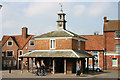
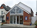
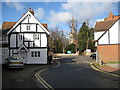
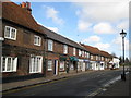
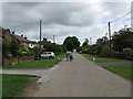
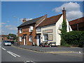
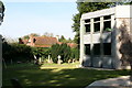

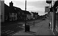
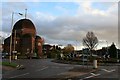
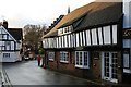
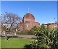
85 photos from this area
Area Information
Key information about the HP27 9EP including its size, population, and administrative classification.
- Area Type
- Postcode
- Area Size
- 8663 m²
- Population
- 1877
- Population Density
- 2359 people/km²
House Prices in HP27 9EP
38
Properties
£418,741
Average Sold Price
£240,000
Lowest Price
£558,950
Highest Price
Showing 38 properties
| Address | Type | Beds | Baths | Last Sale Price | Last Sale Date | |
|---|---|---|---|---|---|---|
| 3, Chiltern Lodge, Longwick Road, Princes Risborough, HP27 9EP | Flat | 1 | 1 | £240,000 | Mar 2025 | |
| 8, Chiltern Lodge, Longwick Road, Princes Risborough, HP27 9EP | Flat | - | - | £520,950 | Mar 2024 | |
| 24, Chiltern Lodge, Longwick Road, Princes Risborough, HP27 9EP | Flat | 1 | 1 | £405,000 | Oct 2023 | |
| 23, Chiltern Lodge, Longwick Road, Princes Risborough, HP27 9EP | Flat | - | - | £497,950 | Feb 2022 | |
| 27, Chiltern Lodge, Longwick Road, Princes Risborough, HP27 9EP | Flat | - | - | £342,950 | Dec 2021 | |
| 18, Chiltern Lodge, Longwick Road, Princes Risborough, HP27 9EP | Flat | 2 | 2 | £486,950 | Dec 2021 | |
| 16, Chiltern Lodge, Longwick Road, Princes Risborough, HP27 9EP | Flat | - | - | £329,950 | May 2021 | |
| 15, Chiltern Lodge, Longwick Road, Princes Risborough, HP27 9EP | Flat | - | - | £500,000 | Mar 2021 | |
| 9, Chiltern Lodge, Longwick Road, Princes Risborough, HP27 9EP | Flat | - | - | £333,950 | Mar 2021 | |
| 31, Chiltern Lodge, Longwick Road, Princes Risborough, HP27 9EP | Flat | 1 | 1 | £533,950 | Jul 2019 |
Page 1 of 4
Energy Efficiency in HP27 9EP
Amenities
Schools
| Rank | School | Type | Entry gender | Ages |
|---|
Explore more schools in this area
Go to Schools tabDemographics
Household Size
Two person
most common
Accommodation Type
Houses
most common
Tenure
78
majority
Ethnic Group
White
most common
Religion
N/A
most common
Household Composition
N/A
most common
Age
47
median
Adults (30-64 years)
most common
Household Deprivation
N/A
with no deprivation
NS-SEC
37
in Lower managerial occupations
Explore more demographic insights in this area
Go to Demographics tabPlanning
Planning Constraints
- Flood RiskPremium
- Ramsar Wetland SitesPremium
- Area of Outstanding Natural BeautyPremium
- Protected Nature ReservePremium
- Protected WoodlandPremium