Area Overview for HP20 1TJ
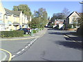
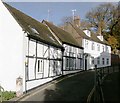
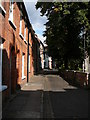
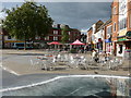
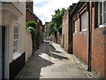
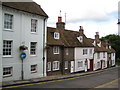
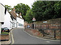
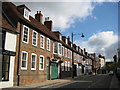
Photos of HP20 1TJ


Area Information
Living in HP20 1TJ means being part of a small, tightly knit residential cluster in England, with a population of just 1,426 people. This area is characterised by its proximity to Aylesbury’s broader amenities, though it retains a quiet, localised feel. The community is predominantly composed of adults aged 30–64, with a median age of 47, suggesting a mature, stable population. Daily life here is shaped by its position within a practical reach of retail and transport hubs, including major supermarkets and railway stations. The area’s compact size means residents can access essential services without long commutes, though the small population size also reflects a limited range of local facilities. The housing stock is largely flats, which aligns with the 34% home ownership rate, indicating a higher proportion of rental properties. This makes HP20 1TJ a viable option for those seeking affordable housing in a low-flood-risk area, though the high crime risk nearby warrants caution.
- Area Type
- Postcode
- Area Size
- Not available
- Population
- 1426
- Population Density
- 5495 people/km²
The property market in HP20 1TJ is defined by a 34% home ownership rate, which suggests a rental-dominated market. The accommodation type is predominantly flats, indicating a housing stock that is more suited to single occupants or small households. This contrasts with areas where larger homes or detached properties dominate. For buyers, the small size of the area means competition is likely to be limited, but the prevalence of flats may reduce the availability of owner-occupied homes. The low flood risk and proximity to Aylesbury’s transport links could make this area appealing for investors seeking rental properties. However, the high crime risk nearby may affect desirability, particularly for families. Prospective buyers should consider the practical implications of living in a flat, such as space constraints and potential noise from shared walls.
House Prices in HP20 1TJ
No properties found in this postcode.
Energy Efficiency in HP20 1TJ
Residents of HP20 1TJ have access to a range of nearby amenities, including major supermarkets such as Sainsburys Aylesbury, M&S Aylesbury, and Morrisons Aylesbury. These stores provide convenience for everyday shopping, though the area itself lacks smaller, local retail outlets. The rail network is a significant feature, with stations like Aylesbury Railway Station, Aylesbury Vale Parkway, and Stoke Mandeville offering connections to broader destinations. While the data does not mention parks or leisure facilities, the proximity to Aylesbury suggests that larger recreational options are accessible. The lifestyle here is practical, with a focus on retail and transport, but the small population size means the area’s character is defined by its reliance on nearby hubs for more diverse activities.
Amenities
Schools
| Rank | School | Type | Entry gender | Ages |
|---|
Explore more schools in this area
Go to Schools tabDemographics
The community in HP20 1TJ is predominantly composed of adults aged 30–64, with a median age of 47. This suggests a population that is largely in their prime working years, with fewer young families or retirees. Home ownership is relatively low at 34%, meaning a significant portion of residents are likely to be renting. The accommodation type is primarily flats, which may reflect the area’s density and the nature of its housing stock. The predominant ethnic group is White, though no specific data on diversity or deprivation is provided. The small population size—just 1,426 people—implies a close-knit community but also limited local amenities. The high proportion of adults in the 30–64 age range may indicate a workforce-oriented demographic, potentially influencing local employment patterns and social dynamics.
Household Size
Accommodation Type
Tenure
Ethnic Group
Religion
Household Composition
Age
Household Deprivation
NS-SEC
Explore more demographic insights in this area
Go to Demographics tabPlanning
Planning Constraints
- Flood RiskPremium
- Ramsar Wetland SitesPremium
- Area of Outstanding Natural BeautyPremium
- Protected Nature ReservePremium
- Protected WoodlandPremium