Area Overview for HP19 8RH
Photos of HP19 8RH
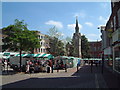
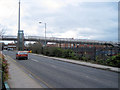
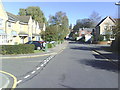
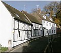
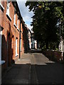
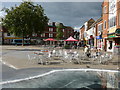
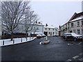
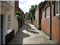
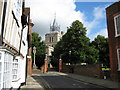
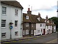
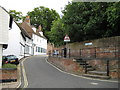
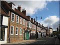
100 photos from this area
Area Information
Key information about the HP19 8RH including its size, population, and administrative classification.
- Area Type
- Postcode
- Area Size
- 1.0 hectares
- Population
- 1426
- Population Density
- 5495 people/km²
House Prices in HP19 8RH
22
Properties
£178,707
Average Sold Price
£117,000
Lowest Price
£219,950
Highest Price
Showing 22 properties
| Address | Type | Beds | Baths | Last Sale Price | Last Sale Date | |
|---|---|---|---|---|---|---|
| 68 Oxford Road, Aylesbury, HP19 8RH | Terraced | 2 | 1 | £202,000 | Feb 2020 | |
| 90 Oxford Road, Aylesbury, HP19 8RH | Terraced | 2 | 1 | £205,000 | Apr 2019 | |
| 84 Oxford Road, Aylesbury, HP19 8RH | Terraced | 2 | 1 | £195,000 | Nov 2018 | |
| 66 Oxford Road, Aylesbury, HP19 8RH | Terraced | 2 | 1 | £219,950 | Jul 2016 | |
| 94 Oxford Road, Aylesbury, HP19 8RH | Terraced | 2 | 1 | £160,000 | Nov 2014 | |
| 62 Oxford Road, Aylesbury, HP19 8RH | house | 2 | 1 | £117,000 | Dec 2013 | |
| 92 Oxford Road, Aylesbury, HP19 8RH | house | 2 | 1 | £152,000 | Dec 2013 | |
| 78 Oxford Road, Aylesbury, HP19 8RH | Terraced | 2 | 1 | - | - | |
| 100 Oxford Road, Aylesbury, HP19 8RH | Terraced | 2 | - | - | - | |
| 60 Oxford Road, Aylesbury, HP19 8RH | house | - | - | - | - |
Page 1 of 3
Energy Efficiency in HP19 8RH
Amenities
Schools
| Rank | School | Type | Entry gender | Ages |
|---|
Explore more schools in this area
Go to Schools tabDemographics
Household Size
One person
most common
Accommodation Type
Flats
most common
Tenure
34
majority
Ethnic Group
White
most common
Religion
N/A
most common
Household Composition
N/A
most common
Age
47
median
Adults (30-64 years)
most common
Household Deprivation
N/A
with no deprivation
NS-SEC
37
in Lower managerial occupations
Explore more demographic insights in this area
Go to Demographics tabPlanning
Planning Constraints
- Flood RiskPremium
- Ramsar Wetland SitesPremium
- Area of Outstanding Natural BeautyPremium
- Protected Nature ReservePremium
- Protected WoodlandPremium