Area Overview for HP18 0SL
Photos of HP18 0SL
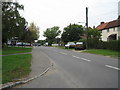
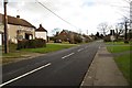
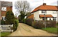
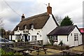
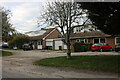
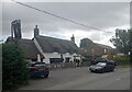

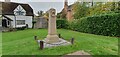

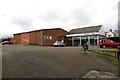
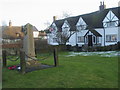
12 photos from this area
Area Information
Key information about the HP18 0SL including its size, population, and administrative classification.
- Area Type
- Postcode
- Area Size
- 38.2 hectares
- Population
- 1382
- Population Density
- 68 people/km²
House Prices in HP18 0SL
32
Properties
£341,766
Average Sold Price
£72,000
Lowest Price
£755,000
Highest Price
Showing 32 properties
| Address | Type | Beds | Baths | Last Sale Price | Last Sale Date | |
|---|---|---|---|---|---|---|
| Four Gables, Main Street, Grendon Underwood, HP18 0SL | house | 6 | 3 | £755,000 | Aug 2023 | |
| Beavers Bank, Main Street, Grendon Underwood, HP18 0SL | Bungalow | 3 | 2 | £500,000 | Aug 2022 | |
| Portway, Main Street, Grendon Underwood, HP18 0SL | Bungalow | 3 | 2 | £335,000 | Jan 2020 | |
| Staveley, Main Street, Grendon Underwood, HP18 0SL | Detached | 3 | 1 | £460,000 | Nov 2018 | |
| Teasel Cottage, Main Street, Grendon Underwood, HP18 0SL | Detached | 4 | 2 | £440,000 | May 2016 | |
| Oakfield Lodge, Main Street, Grendon Underwood, HP18 0SL | Detached | 4 | 2 | £490,000 | Aug 2014 | |
| Little Grove, Main Street, Grendon Underwood, HP18 0SL | Bungalow | 4 | 2 | £300,000 | Jun 2014 | |
| Ellkin, Main Street, Grendon Underwood, HP18 0SL | Bungalow | 2 | - | £188,000 | May 2013 | |
| Shepherds Crook, Main Street, Grendon Underwood, HP18 0SL | Semi-detached | 3 | 2 | £320,000 | May 2013 | |
| Rose Cottage, Main Street, Grendon Underwood, HP18 0SL | Semi-detached | 3 | 3 | £270,000 | Jun 2012 |
Page 1 of 4
Energy Efficiency in HP18 0SL
Amenities
Schools
| Rank | School | Type | Entry gender | Ages |
|---|
Explore more schools in this area
Go to Schools tabDemographics
Household Size
Family (3-5 people)
most common
Accommodation Type
Houses
most common
Tenure
82
majority
Ethnic Group
White
most common
Religion
N/A
most common
Household Composition
N/A
most common
Age
47
median
Adults (30-64 years)
most common
Household Deprivation
N/A
with no deprivation
NS-SEC
43
in Lower managerial occupations
Explore more demographic insights in this area
Go to Demographics tabPlanning
Planning Constraints
- Flood RiskPremium
- Ramsar Wetland SitesPremium
- Area of Outstanding Natural BeautyPremium
- Protected Nature ReservePremium
- Protected WoodlandPremium