Area Overview for HP17 8DR
Photos of HP17 8DR
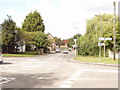
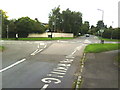
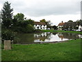
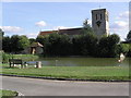
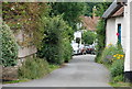
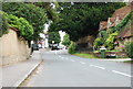
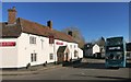
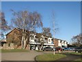
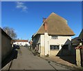
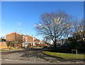
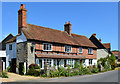
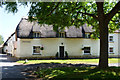
70 photos from this area
Area Information
Key information about the HP17 8DR including its size, population, and administrative classification.
- Area Type
- Postcode
- Area Size
- 7739 m²
- Population
- 1219
- Population Density
- 1042 people/km²
House Prices in HP17 8DR
6
Properties
£610,833
Average Sold Price
£420,000
Lowest Price
£925,000
Highest Price
Showing 6 properties
| Address | Type | Beds | Baths | Last Sale Price | Last Sale Date | |
|---|---|---|---|---|---|---|
| Banks Field, 82 Churchway, Haddenham, HP17 8DR | Bungalow | 2 | 1 | £485,000 | Jul 2025 | |
| 90 Churchway, Haddenham, HP17 8DR | house | - | - | £925,000 | May 2021 | |
| 86 Churchway, Haddenham, HP17 8DR | house | - | - | £635,000 | Apr 2016 | |
| 80 Churchway, Haddenham, HP17 8DR | Detached | 4 | 2 | £630,000 | Nov 2015 | |
| 84 Churchway, Haddenham, HP17 8DR | Detached | 5 | - | £570,000 | May 2013 | |
| 88 Churchway, Haddenham, HP17 8DR | Detached | - | - | £420,000 | Jan 2006 |
Energy Efficiency in HP17 8DR
Amenities
Schools
| Rank | School | Type | Entry gender | Ages |
|---|
Explore more schools in this area
Go to Schools tabDemographics
Household Size
One person
most common
Accommodation Type
Houses
most common
Tenure
58
majority
Ethnic Group
White
most common
Religion
N/A
most common
Household Composition
N/A
most common
Age
47
median
Adults (30-64 years)
most common
Household Deprivation
N/A
with no deprivation
NS-SEC
35
in Lower managerial occupations
Explore more demographic insights in this area
Go to Demographics tabPlanning
Planning Constraints
- Flood RiskPremium
- Ramsar Wetland SitesPremium
- Area of Outstanding Natural BeautyPremium
- Protected Nature ReservePremium
- Protected WoodlandPremium