Area Overview for HP17 8AA
Photos of HP17 8AA
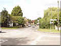
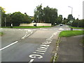
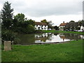
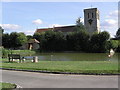
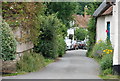
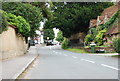
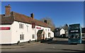
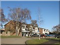
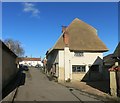
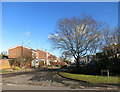
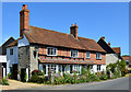
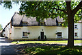
70 photos from this area
Area Information
Key information about the HP17 8AA including its size, population, and administrative classification.
- Area Type
- Postcode
- Area Size
- 1.2 hectares
- Population
- 1965
- Population Density
- 1013 people/km²
House Prices in HP17 8AA
19
Properties
£610,227
Average Sold Price
£25,000
Lowest Price
£980,000
Highest Price
Showing 19 properties
| Address | Type | Beds | Baths | Last Sale Price | Last Sale Date | |
|---|---|---|---|---|---|---|
| 24 Churchway, Haddenham, HP17 8AA | Detached | 5 | 1 | £745,000 | Dec 2022 | |
| 8 Churchway, Haddenham, HP17 8AA | Detached | 4 | 4 | £910,000 | Jul 2021 | |
| 22 Churchway, Haddenham, HP17 8AA | Semi-detached | 5 | 3 | £980,000 | Sep 2020 | |
| 26 Churchway, Haddenham, HP17 8AA | house | - | - | £877,500 | Mar 2020 | |
| 40 Churchway, Haddenham, HP17 8AA | Detached | 3 | 2 | £635,000 | Jan 2019 | |
| 16 Churchway, Haddenham, HP17 8AA | house | 3 | - | £660,000 | Feb 2013 | |
| Grace House, 38 Churchway, Haddenham, HP17 8AA | Detached | 7 | 3 | £635,000 | Oct 2011 | |
| 18 Churchway, Haddenham, HP17 8AA | house | - | - | £525,000 | Jun 2011 | |
| 20 Churchway, Haddenham, HP17 8AA | Bungalow | 4 | - | £525,000 | Apr 2011 | |
| 28 Churchway, Haddenham, HP17 8AA | Detached | - | - | £195,000 | Dec 1996 |
Page 1 of 2
Energy Efficiency in HP17 8AA
Amenities
Schools
| Rank | School | Type | Entry gender | Ages |
|---|
Explore more schools in this area
Go to Schools tabDemographics
Household Size
Two person
most common
Accommodation Type
Houses
most common
Tenure
82
majority
Ethnic Group
White
most common
Religion
N/A
most common
Household Composition
N/A
most common
Age
47
median
Adults (30-64 years)
most common
Household Deprivation
N/A
with no deprivation
NS-SEC
55
in Lower managerial occupations
Explore more demographic insights in this area
Go to Demographics tabPlanning
Planning Constraints
- Flood RiskPremium
- Ramsar Wetland SitesPremium
- Area of Outstanding Natural BeautyPremium
- Protected Nature ReservePremium
- Protected WoodlandPremium