Area Overview for HP16 0JH
Photos of HP16 0JH
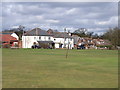
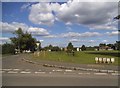
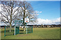
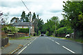
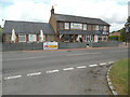
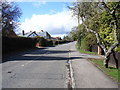
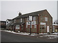
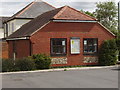
12 photos from this area
Area Information
Key information about the HP16 0JH including its size, population, and administrative classification.
- Area Type
- Postcode
- Area Size
- 17.6 hectares
- Population
- 1298
- Population Density
- 321 people/km²
House Prices in HP16 0JH
10
Properties
£807,500
Average Sold Price
£530,000
Lowest Price
£1,075,000
Highest Price
Showing 10 properties
| Address | Type | Beds | Baths | Last Sale Price | Last Sale Date | |
|---|---|---|---|---|---|---|
| Avondale, Perks Lane, Prestwood, HP16 0JH | Character Property | 4 | 3 | £1,075,000 | Aug 2025 | |
| Windy Ridge, Perks Lane, Prestwood, HP16 0JH | Detached | 5 | 2 | £675,000 | Mar 2025 | |
| White Rose Cottage, Perks Lane, Prestwood, HP16 0JH | Detached | 4 | - | £950,000 | Dec 2020 | |
| Heathfield Cottage, Perks Lane, Prestwood, HP16 0JH | Bungalow | 4 | 1 | £530,000 | Nov 2020 | |
| Three Greens, Perks Lane, Prestwood, HP16 0JH | Detached | 5 | 3 | - | - | |
| Peterley Corner Cottage, Perks Lane, Prestwood, HP16 0JH | Detached | 5 | 3 | - | - | |
| White Lodge, Perks Lane, Prestwood, HP16 0JH | house | - | - | - | - | |
| Meadow View, Perks Lane, Prestwood, HP16 0JH | Detached | - | - | - | - | |
| The Darbies, Perks Lane, Prestwood, HP16 0JH | Detached | - | - | - | - | |
| British United Turkeys Limited, Perks Lane Farm, Perks Lane, Prestwood, HP16 0JH | retail_financial | - | - | - | - |
Energy Efficiency in HP16 0JH
Amenities
Schools
| Rank | School | Type | Entry gender | Ages |
|---|
Explore more schools in this area
Go to Schools tabDemographics
Household Size
Two person
most common
Accommodation Type
Houses
most common
Tenure
95
majority
Ethnic Group
White
most common
Religion
N/A
most common
Household Composition
N/A
most common
Age
47
median
Adults (30-64 years)
most common
Household Deprivation
N/A
with no deprivation
NS-SEC
53
in Lower managerial occupations
Explore more demographic insights in this area
Go to Demographics tabPlanning
Planning Constraints
- Flood RiskPremium
- Ramsar Wetland SitesPremium
- Area of Outstanding Natural BeautyPremium
- Protected Nature ReservePremium
- Protected WoodlandPremium