Area Overview for HP15 7TB
Photos of HP15 7TB
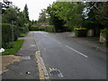
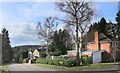
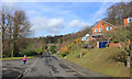
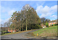
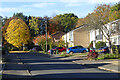
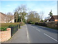
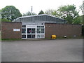

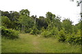
15 photos from this area
Area Information
Key information about the HP15 7TB including its size, population, and administrative classification.
- Area Type
- Postcode
- Area Size
- 1.0 hectares
- Population
- 1628
- Population Density
- 1925 people/km²
House Prices in HP15 7TB
26
Properties
£365,409
Average Sold Price
£126,000
Lowest Price
£700,000
Highest Price
Showing 26 properties
| Address | Type | Beds | Baths | Last Sale Price | Last Sale Date | |
|---|---|---|---|---|---|---|
| 17 Hayfield Drive, Tylers Green, HP15 7TB | Maisonette | 2 | 1 | £300,000 | May 2024 | |
| 36 Hayfield Drive, Tylers Green, HP15 7TB | house | 3 | 1 | £455,000 | Feb 2023 | |
| 25 Hayfield Drive, Tylers Green, HP15 7TB | Detached | 3 | 2 | £600,000 | Jan 2023 | |
| 20 Hayfield Drive, Tylers Green, HP15 7TB | house | - | - | £490,000 | Oct 2022 | |
| 16 Hayfield Drive, Tylers Green, HP15 7TB | Semi-detached | 3 | - | £310,000 | Dec 2021 | |
| 27 Hayfield Drive, Tylers Green, HP15 7TB | house | 3 | - | £700,000 | Dec 2021 | |
| 24 Hayfield Drive, Tylers Green, HP15 7TB | house | - | - | £504,000 | Jul 2021 | |
| 41 Hayfield Drive, Tylers Green, HP15 7TB | house | - | - | £450,000 | Jun 2021 | |
| 28 Hayfield Drive, Tylers Green, HP15 7TB | Semi-detached | 3 | 2 | £422,000 | Dec 2019 | |
| 23 Hayfield Drive, Tylers Green, HP15 7TB | Flat | 2 | 1 | £262,000 | Dec 2018 |
Page 1 of 3
Energy Efficiency in HP15 7TB
Amenities
Schools
| Rank | School | Type | Entry gender | Ages |
|---|
Explore more schools in this area
Go to Schools tabDemographics
Household Size
Family (3-5 people)
most common
Accommodation Type
Houses
most common
Tenure
86
majority
Ethnic Group
White
most common
Religion
N/A
most common
Household Composition
N/A
most common
Age
47
median
Adults (30-64 years)
most common
Household Deprivation
N/A
with no deprivation
NS-SEC
49
in Lower managerial occupations
Explore more demographic insights in this area
Go to Demographics tabPlanning
Planning Constraints
- Flood RiskPremium
- Ramsar Wetland SitesPremium
- Area of Outstanding Natural BeautyPremium
- Protected Nature ReservePremium
- Protected WoodlandPremium