Area Overview for HP15 7PU
Photos of HP15 7PU
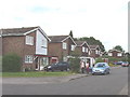
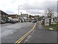
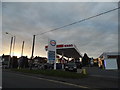
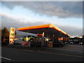
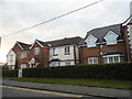
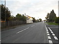
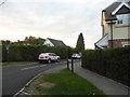
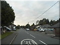
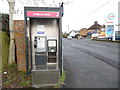

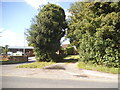
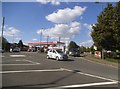
24 photos from this area
Area Information
Key information about the HP15 7PU including its size, population, and administrative classification.
- Area Type
- Postcode
- Area Size
- 3927 m²
- Population
- 1628
- Population Density
- 1925 people/km²
House Prices in HP15 7PU
6
Properties
£358,333
Average Sold Price
£205,000
Lowest Price
£435,000
Highest Price
Showing 6 properties
| Address | Type | Beds | Baths | Last Sale Price | Last Sale Date | |
|---|---|---|---|---|---|---|
| 322 Amersham Road, Hazlemere, HP15 7PU | Semi-detached | 3 | 2 | £435,000 | Mar 2020 | |
| 324 Amersham Road, Hazlemere, HP15 7PU | Semi-detached | 3 | - | £435,000 | Aug 2017 | |
| 320 Amersham Road, Hazlemere, HP15 7PU | Semi-detached | - | - | £205,000 | Mar 2005 | |
| 328 Amersham Road, Hazlemere, HP15 7PU | Bungalow | 2 | 1 | - | - | |
| The Jnp Partnership, First Floor, 330 Amersham Road, Hazlemere, HP15 7PU | retail_financial | - | - | - | - | |
| 326 Amersham Road, Hazlemere, HP15 7PU | Semi-detached | - | - | - | - |
Energy Efficiency in HP15 7PU
Amenities
Schools
| Rank | School | Type | Entry gender | Ages |
|---|
Explore more schools in this area
Go to Schools tabDemographics
Household Size
Family (3-5 people)
most common
Accommodation Type
Houses
most common
Tenure
86
majority
Ethnic Group
White
most common
Religion
N/A
most common
Household Composition
N/A
most common
Age
47
median
Adults (30-64 years)
most common
Household Deprivation
N/A
with no deprivation
NS-SEC
49
in Lower managerial occupations
Explore more demographic insights in this area
Go to Demographics tabPlanning
Planning Constraints
- Flood RiskPremium
- Ramsar Wetland SitesPremium
- Area of Outstanding Natural BeautyPremium
- Protected Nature ReservePremium
- Protected WoodlandPremium