Area Overview for HP15 7HL
Photos of HP15 7HL
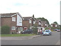
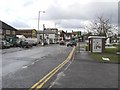
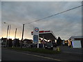
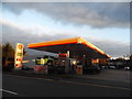
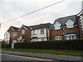
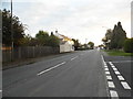
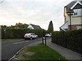
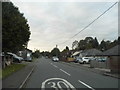
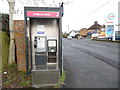
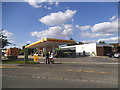
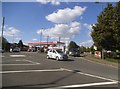
24 photos from this area
Area Information
Key information about the HP15 7HL including its size, population, and administrative classification.
- Area Type
- Postcode
- Area Size
- 7536 m²
- Population
- 1928
- Population Density
- 2514 people/km²
House Prices in HP15 7HL
9
Properties
£496,600
Average Sold Price
£158,000
Lowest Price
£1,070,000
Highest Price
Showing 9 properties
| Address | Type | Beds | Baths | Last Sale Price | Last Sale Date | |
|---|---|---|---|---|---|---|
| Orchid House, 345 Amersham Road, Hazlemere, HP15 7HL | Detached | 4 | 2 | £1,070,000 | Jun 2021 | |
| 355 Amersham Road, Hazlemere, HP15 7HL | Detached | 4 | 2 | £640,000 | Nov 2017 | |
| 353 Amersham Road, Hazlemere, HP15 7HL | Maisonette | - | - | £270,000 | Nov 2009 | |
| 359 Amersham Road, Hazlemere, HP15 7HL | Semi-detached | - | - | £345,000 | Feb 2007 | |
| 349 Amersham Road, Hazlemere, HP15 7HL | house | - | - | £158,000 | Jun 1995 | |
| 357 Amersham Road, Hazlemere, HP15 7HL | Semi-detached | 3 | 1 | - | - | |
| 347 Amersham Road, Hazlemere, HP15 7HL | Detached | - | - | - | - | |
| The Flat, 351 Amersham Road, Hazlemere, HP15 7HL | Maisonette | - | - | - | - | |
| Spar, Shop, Hazlemere Crossroads Service Station, 331 Amersham Road, Hazlemere, HP15 7HL | shop | - | - | - | - |
Energy Efficiency in HP15 7HL
Amenities
Schools
| Rank | School | Type | Entry gender | Ages |
|---|
Explore more schools in this area
Go to Schools tabDemographics
Household Size
Family (3-5 people)
most common
Accommodation Type
Houses
most common
Tenure
88
majority
Ethnic Group
White
most common
Religion
N/A
most common
Household Composition
N/A
most common
Age
47
median
Adults (30-64 years)
most common
Household Deprivation
N/A
with no deprivation
NS-SEC
45
in Lower managerial occupations
Explore more demographic insights in this area
Go to Demographics tabPlanning
Planning Constraints
- Flood RiskPremium
- Ramsar Wetland SitesPremium
- Area of Outstanding Natural BeautyPremium
- Protected Nature ReservePremium
- Protected WoodlandPremium