Area Overview for HP15 7EY
Photos of HP15 7EY
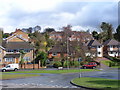
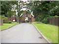
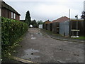
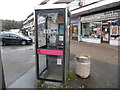
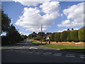
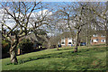
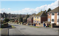
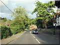
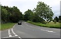
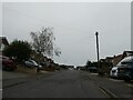
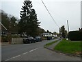
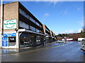
12 photos from this area
Area Information
Key information about the HP15 7EY including its size, population, and administrative classification.
- Area Type
- Postcode
- Area Size
- 3.8 hectares
- Population
- 1505
- Population Density
- 687 people/km²
House Prices in HP15 7EY
39
Properties
£286,850
Average Sold Price
£98,500
Lowest Price
£465,000
Highest Price
Showing 39 properties
| Address | Type | Beds | Baths | Last Sale Price | Last Sale Date | |
|---|---|---|---|---|---|---|
| 71 Brackley Road, Hazlemere, HP15 7EY | Bungalow | 1 | 1 | £290,000 | Jul 2025 | |
| 83 Brackley Road, Hazlemere, HP15 7EY | Terraced | 3 | 1 | £441,500 | Mar 2025 | |
| 65 Brackley Road, Hazlemere, HP15 7EY | Bungalow | 2 | 1 | £375,000 | Jul 2024 | |
| 101 Brackley Road, Hazlemere, HP15 7EY | Terraced | 2 | 1 | £348,000 | Jun 2024 | |
| 63 Brackley Road, Hazlemere, HP15 7EY | Bungalow | 1 | 1 | £248,000 | Sep 2022 | |
| 81 Brackley Road, Hazlemere, HP15 7EY | Retail | 2 | 1 | £375,363 | Jul 2022 | |
| 97 Brackley Road, Hazlemere, HP15 7EY | house | - | - | £384,000 | Jan 2022 | |
| 93 Brackley Road, Hazlemere, HP15 7EY | Terraced | 3 | 1 | £385,000 | Jun 2021 | |
| 79 Brackley Road, Hazlemere, HP15 7EY | Terraced | 3 | 2 | £350,000 | Jun 2021 | |
| 123 Brackley Road, Hazlemere, HP15 7EY | Terraced | 3 | - | £465,000 | Mar 2021 |
Page 1 of 4
Energy Efficiency in HP15 7EY
Amenities
Schools
| Rank | School | Type | Entry gender | Ages |
|---|
Explore more schools in this area
Go to Schools tabDemographics
Household Size
Two person
most common
Accommodation Type
Houses
most common
Tenure
92
majority
Ethnic Group
White
most common
Religion
N/A
most common
Household Composition
N/A
most common
Age
47
median
Adults (30-64 years)
most common
Household Deprivation
N/A
with no deprivation
NS-SEC
49
in Lower managerial occupations
Explore more demographic insights in this area
Go to Demographics tabPlanning
Planning Constraints
- Flood RiskPremium
- Ramsar Wetland SitesPremium
- Area of Outstanding Natural BeautyPremium
- Protected Nature ReservePremium
- Protected WoodlandPremium