Area Overview for HP15 6JA
Photos of HP15 6JA
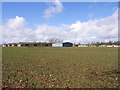
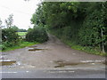
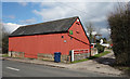
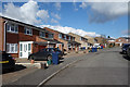
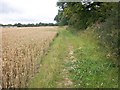


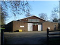
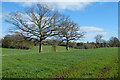
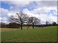
10 photos from this area
Area Information
Key information about the HP15 6JA including its size, population, and administrative classification.
- Area Type
- Postcode
- Area Size
- 19.2 hectares
- Population
- 1505
- Population Density
- 687 people/km²
House Prices in HP15 6JA
26
Properties
£656,800
Average Sold Price
£89,100
Lowest Price
£1,500,000
Highest Price
Showing 26 properties
| Address | Type | Beds | Baths | Last Sale Price | Last Sale Date | |
|---|---|---|---|---|---|---|
| The Bungalow, Spurlands End Road, Great Kingshill, HP15 6JA | Bungalow | 2 | 1 | £550,000 | Dec 2025 | |
| Kings Acre, Spurlands End Road, Great Kingshill, HP15 6JA | Detached | 4 | 4 | £1,500,000 | Feb 2024 | |
| Haycroft, Spurlands End Road, Great Kingshill, HP15 6JA | Bungalow | 4 | 3 | £875,000 | Jan 2024 | |
| Garden Reach, Spurlands End Road, Great Kingshill, HP15 6JA | Bungalow | 4 | - | £775,000 | Dec 2017 | |
| Windermere, Spurlands End Road, Great Kingshill, HP15 6JA | Bungalow | - | - | £720,000 | Sep 2017 | |
| Oldegate, Spurlands End Road, Great Kingshill, HP15 6JA | Detached | 3 | - | £880,000 | Jan 2017 | |
| Orchard Lea, Spurlands End Road, Great Kingshill, HP15 6JA | Land | 3 | 2 | £517,500 | Dec 2015 | |
| Hunters Croft, Spurlands End Road, Great Kingshill, HP15 6JA | house | - | - | £945,000 | Mar 2013 | |
| Linden Lea, Spurlands End Road, Great Kingshill, HP15 6JA | Detached | - | - | £530,000 | May 2005 | |
| Spurlands Croft, Spurlands End Road, Great Kingshill, HP15 6JA | Detached | 4 | - | £300,000 | Nov 2001 |
Page 1 of 3
Energy Efficiency in HP15 6JA
Amenities
Schools
| Rank | School | Type | Entry gender | Ages |
|---|
Explore more schools in this area
Go to Schools tabDemographics
Household Size
Two person
most common
Accommodation Type
Houses
most common
Tenure
92
majority
Ethnic Group
White
most common
Religion
N/A
most common
Household Composition
N/A
most common
Age
47
median
Adults (30-64 years)
most common
Household Deprivation
N/A
with no deprivation
NS-SEC
49
in Lower managerial occupations
Explore more demographic insights in this area
Go to Demographics tabPlanning
Planning Constraints
- Flood RiskPremium
- Ramsar Wetland SitesPremium
- Area of Outstanding Natural BeautyPremium
- Protected Nature ReservePremium
- Protected WoodlandPremium