Area Overview for HP15 6EZ
Photos of HP15 6EZ
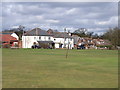
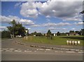
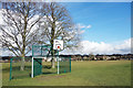
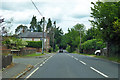
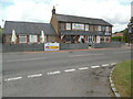
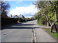
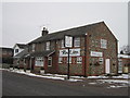
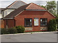
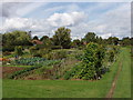
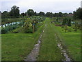
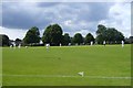
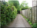
12 photos from this area
Area Information
Key information about the HP15 6EZ including its size, population, and administrative classification.
- Area Type
- Postcode
- Area Size
- 3.2 hectares
- Population
- 1505
- Population Density
- 687 people/km²
House Prices in HP15 6EZ
28
Properties
£583,326
Average Sold Price
£249,750
Lowest Price
£850,000
Highest Price
Showing 28 properties
| Address | Type | Beds | Baths | Last Sale Price | Last Sale Date | |
|---|---|---|---|---|---|---|
| 4, Old Heatherdene Cottages, Common Road, Great Kingshill, HP15 6EZ | Detached | 4 | 2 | £850,000 | Feb 2025 | |
| Boundary Cottage, Common Road, Great Kingshill, HP15 6EZ | Detached | 4 | 2 | £850,000 | Jul 2024 | |
| Ballyfar, Common Road, Great Kingshill, HP15 6EZ | Bungalow | 3 | 2 | £760,000 | Apr 2024 | |
| Holly Tree Cottage, Common Road, Great Kingshill, HP15 6EZ | Detached | 4 | 2 | £773,700 | Mar 2021 | |
| Lilac Cottage, Common Road, Great Kingshill, HP15 6EZ | Detached | 3 | 2 | £715,000 | Dec 2019 | |
| Magpies, Common Road, Great Kingshill, HP15 6EZ | house | 4 | - | £808,000 | Oct 2016 | |
| Silverdale, Common Road, Great Kingshill, HP15 6EZ | Detached | 3 | - | £699,500 | Aug 2016 | |
| Fielders Cottage, Common Road, Great Kingshill, HP15 6EZ | house | - | - | £512,500 | Feb 2011 | |
| 2, Old Heatherdene Cottages, Common Road, Great Kingshill, HP15 6EZ | house | - | - | £313,000 | Nov 2009 | |
| The Conifers, Common Road, Great Kingshill, HP15 6EZ | Detached | - | - | £685,000 | Sep 2008 |
Page 1 of 3
Energy Efficiency in HP15 6EZ
Amenities
Schools
| Rank | School | Type | Entry gender | Ages |
|---|
Explore more schools in this area
Go to Schools tabDemographics
Household Size
Two person
most common
Accommodation Type
Houses
most common
Tenure
92
majority
Ethnic Group
White
most common
Religion
N/A
most common
Household Composition
N/A
most common
Age
47
median
Adults (30-64 years)
most common
Household Deprivation
N/A
with no deprivation
NS-SEC
49
in Lower managerial occupations
Explore more demographic insights in this area
Go to Demographics tabPlanning
Planning Constraints
- Flood RiskPremium
- Ramsar Wetland SitesPremium
- Area of Outstanding Natural BeautyPremium
- Protected Nature ReservePremium
- Protected WoodlandPremium