Area Overview for HP14 4BY
Photos of HP14 4BY
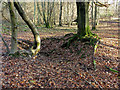
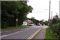
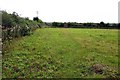
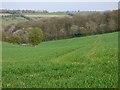
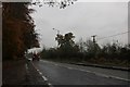
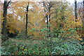
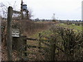
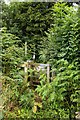
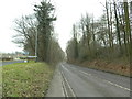
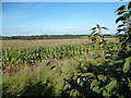
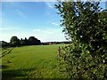

13 photos from this area
Area Information
Key information about the HP14 4BY including its size, population, and administrative classification.
- Area Type
- Postcode
- Area Size
- 68.3 hectares
- Population
- 1181
- Population Density
- 132 people/km²
House Prices in HP14 4BY
42
Properties
£777,227
Average Sold Price
£250,000
Lowest Price
£1,650,000
Highest Price
Showing 42 properties
| Address | Type | Beds | Baths | Last Sale Price | Last Sale Date | |
|---|---|---|---|---|---|---|
| Little Meadows, Green End Road, Radnage, HP14 4BY | Detached | 4 | 2 | £1,650,000 | Aug 2025 | |
| Birch Grove, Green End Road, Radnage, HP14 4BY | Retail | 4 | 2 | £670,000 | Oct 2022 | |
| Lark Rise, Green End Road, Radnage, HP14 4BY | Detached | 5 | 4 | £1,125,000 | Jun 2021 | |
| Stratford House, Green End Road, Radnage, HP14 4BY | Detached | 3 | 3 | £733,000 | May 2021 | |
| Little Beckings, Green End Road, Radnage, HP14 4BY | Semi-detached | 4 | 2 | £575,000 | Mar 2021 | |
| Partridge Cottage, Green End Road, Radnage, HP14 4BY | Bungalow | - | - | £705,000 | Mar 2021 | |
| Willow House, Green End Road, Radnage, HP14 4BY | Detached | 3 | 3 | £870,000 | Dec 2020 | |
| Douglas Lodge, Green End Road, Radnage, HP14 4BY | Detached | 5 | 2 | £965,000 | Jul 2020 | |
| Fernhurst, Green End Road, Radnage, HP14 4BY | Detached | 5 | 2 | £935,000 | Oct 2019 | |
| White Gates, Green End Road, Radnage, HP14 4BY | Detached | 4 | 3 | £1,250,000 | Oct 2018 |
Page 1 of 5
Energy Efficiency in HP14 4BY
Amenities
Schools
| Rank | School | Type | Entry gender | Ages |
|---|
Explore more schools in this area
Go to Schools tabDemographics
Household Size
Two person
most common
Accommodation Type
Houses
most common
Tenure
89
majority
Ethnic Group
White
most common
Religion
N/A
most common
Household Composition
N/A
most common
Age
47
median
Adults (30-64 years)
most common
Household Deprivation
N/A
with no deprivation
NS-SEC
52
in Lower managerial occupations
Explore more demographic insights in this area
Go to Demographics tabPlanning
Planning Constraints
- Flood RiskPremium
- Ramsar Wetland SitesPremium
- Area of Outstanding Natural BeautyPremium
- Protected Nature ReservePremium
- Protected WoodlandPremium