Area Overview for HP14 3TP
Photos of HP14 3TP
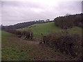
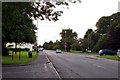
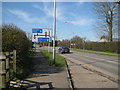
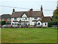
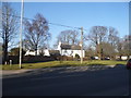
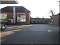
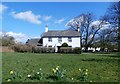
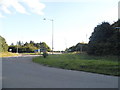
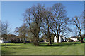
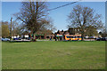
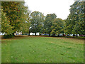
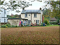
44 photos from this area
Area Information
Key information about the HP14 3TP including its size, population, and administrative classification.
- Area Type
- Postcode
- Area Size
- 2.5 hectares
- Population
- 1682
- Population Density
- 624 people/km²
House Prices in HP14 3TP
49
Properties
£290,175
Average Sold Price
£43,393
Lowest Price
£1,350,000
Highest Price
Showing 49 properties
| Address | Type | Beds | Baths | Last Sale Price | Last Sale Date | |
|---|---|---|---|---|---|---|
| 69A Mill Road, Stokenchurch, HP14 3TP | Semi-detached | 2 | 1 | £350,000 | Jan 2025 | |
| 65 Mill Road, Stokenchurch, HP14 3TP | Semi-detached | 3 | 1 | £415,000 | Jun 2024 | |
| 3 Mill Road, Stokenchurch, HP14 3TP | house | - | - | £165,000 | Jan 2024 | |
| 13 Mill Road, Stokenchurch, HP14 3TP | Detached | 3 | 1 | £473,200 | Jan 2023 | |
| 41 Mill Road, Stokenchurch, HP14 3TP | Retail | 2 | 1 | £290,000 | Sep 2022 | |
| 59 Mill Road, Stokenchurch, HP14 3TP | house | - | - | £330,000 | Jan 2022 | |
| 75 Mill Road, Stokenchurch, HP14 3TP | house | 4 | - | £438,000 | Nov 2021 | |
| 37 Mill Road, Stokenchurch, HP14 3TP | Terraced | 3 | 2 | £325,000 | Nov 2020 | |
| 11 Mill Road, Stokenchurch, HP14 3TP | Semi-detached | 3 | 2 | £425,000 | May 2020 | |
| 73A Mill Road, Stokenchurch, HP14 3TP | house | 1 | - | £210,000 | Jan 2018 |
Page 1 of 5
Energy Efficiency in HP14 3TP
Amenities
Schools
| Rank | School | Type | Entry gender | Ages |
|---|
Explore more schools in this area
Go to Schools tabDemographics
Household Size
Family (3-5 people)
most common
Accommodation Type
Houses
most common
Tenure
81
majority
Ethnic Group
White
most common
Religion
N/A
most common
Household Composition
N/A
most common
Age
47
median
Adults (30-64 years)
most common
Household Deprivation
N/A
with no deprivation
NS-SEC
40
in Lower managerial occupations
Explore more demographic insights in this area
Go to Demographics tabPlanning
Planning Constraints
- Flood RiskPremium
- Ramsar Wetland SitesPremium
- Area of Outstanding Natural BeautyPremium
- Protected Nature ReservePremium
- Protected WoodlandPremium