Area Overview for HP14 3PJ
Photos of HP14 3PJ
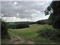
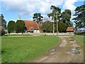
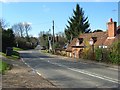
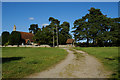
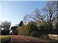
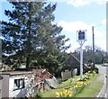
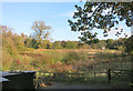
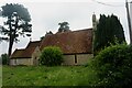
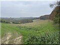
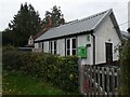
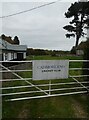
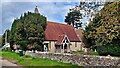
35 photos from this area
Area Information
Key information about the HP14 3PJ including its size, population, and administrative classification.
- Area Type
- Postcode
- Area Size
- 42.1 hectares
- Population
- 1176
- Population Density
- 94 people/km²
House Prices in HP14 3PJ
9
Properties
£904,583
Average Sold Price
£330,000
Lowest Price
£1,235,000
Highest Price
Showing 9 properties
| Address | Type | Beds | Baths | Last Sale Price | Last Sale Date | |
|---|---|---|---|---|---|---|
| Five Oaks, Church Road, Cadmore End, HP14 3PJ | Detached | 4 | 3 | £1,235,000 | Sep 2024 | |
| Chiltern Hills House, Church Road, Cadmore End, HP14 3PJ | Detached | 4 | 3 | £1,125,000 | Nov 2021 | |
| Domus Equus, Church Road, Cadmore End, HP14 3PJ | Detached | 5 | 2 | £1,045,000 | May 2017 | |
| The Old Vicarage, Church Road, Cadmore End, HP14 3PJ | Detached | 5 | 2 | £992,500 | May 2017 | |
| The White House, Cadmore End, Cadmore End, HP14 3PJ | Detached | 5 | 4 | £700,000 | Sep 2005 | |
| Skilmoor House, Church Road, Cadmore End, HP14 3PJ | house | - | - | £330,000 | Mar 1999 | |
| South Fields, Church Road, Cadmore End, HP14 3PJ | house | - | - | - | - | |
| Homelea, Church Road, Cadmore End, HP14 3PJ | Detached | - | - | - | - | |
| Cadmore End Village Hall, Church Road, Cadmore End, HP14 3PJ | assembly_leisure | - | - | - | - |
Energy Efficiency in HP14 3PJ
Amenities
Schools
| Rank | School | Type | Entry gender | Ages |
|---|
Explore more schools in this area
Go to Schools tabDemographics
Household Size
Two person
most common
Accommodation Type
Houses
most common
Tenure
81
majority
Ethnic Group
White
most common
Religion
N/A
most common
Household Composition
N/A
most common
Age
47
median
Adults (30-64 years)
most common
Household Deprivation
N/A
with no deprivation
NS-SEC
45
in Lower managerial occupations
Explore more demographic insights in this area
Go to Demographics tabPlanning
Planning Constraints
- Flood RiskPremium
- Ramsar Wetland SitesPremium
- Area of Outstanding Natural BeautyPremium
- Protected Nature ReservePremium
- Protected WoodlandPremium