Area Overview for HP13 7TY
Photos of HP13 7TY
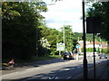
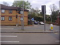
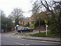
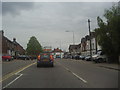
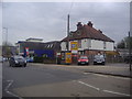
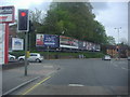
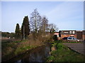
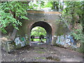
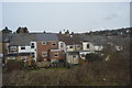
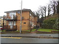
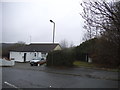
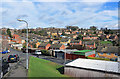
41 photos from this area
Area Information
Key information about the HP13 7TY including its size, population, and administrative classification.
- Area Type
- Postcode
- Area Size
- 2.1 hectares
- Population
- 1453
- Population Density
- 6929 people/km²
House Prices in HP13 7TY
46
Properties
£233,300
Average Sold Price
£96,000
Lowest Price
£322,500
Highest Price
Showing 46 properties
| Address | Type | Beds | Baths | Last Sale Price | Last Sale Date | |
|---|---|---|---|---|---|---|
| 66 St Hughs Avenue, High Wycombe, HP13 7TY | house | 2 | - | £317,500 | Dec 2024 | |
| 55 St Hughs Avenue, High Wycombe, HP13 7TY | Semi-detached | 3 | 1 | £305,000 | Mar 2024 | |
| 53 St Hughs Avenue, High Wycombe, HP13 7TY | Semi-detached | 2 | 1 | £322,500 | Dec 2023 | |
| 58 St Hughs Avenue, High Wycombe, HP13 7TY | Semi-detached | 2 | 1 | £225,000 | Jul 2019 | |
| 52 St Hughs Avenue, High Wycombe, HP13 7TY | Semi-detached | 2 | - | £256,000 | Nov 2018 | |
| 64 St Hughs Avenue, High Wycombe, HP13 7TY | Semi-detached | 2 | 1 | £240,000 | Aug 2015 | |
| 67 St Hughs Avenue, High Wycombe, HP13 7TY | Terraced | 2 | 1 | £210,000 | Apr 2015 | |
| 54 St Hughs Avenue, High Wycombe, HP13 7TY | Semi-detached | 2 | - | £208,000 | Oct 2014 | |
| 69 St Hughs Avenue, High Wycombe, HP13 7TY | house | 2 | 1 | £153,000 | Aug 2013 | |
| 63 St Hughs Avenue, High Wycombe, HP13 7TY | house | - | - | £96,000 | Aug 2001 |
Page 1 of 5
Energy Efficiency in HP13 7TY
Amenities
Schools
| Rank | School | Type | Entry gender | Ages |
|---|
Explore more schools in this area
Go to Schools tabDemographics
Household Size
One person
most common
Accommodation Type
Flats
most common
Tenure
40
majority
Ethnic Group
White
most common
Religion
N/A
most common
Household Composition
N/A
most common
Age
47
median
Adults (30-64 years)
most common
Household Deprivation
N/A
with no deprivation
NS-SEC
29
in Lower managerial occupations
Explore more demographic insights in this area
Go to Demographics tabPlanning
Planning Constraints
- Flood RiskPremium
- Ramsar Wetland SitesPremium
- Area of Outstanding Natural BeautyPremium
- Protected Nature ReservePremium
- Protected WoodlandPremium