Area Overview for HP13 7LN
Photos of HP13 7LN
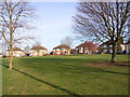
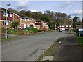
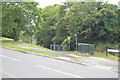
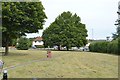
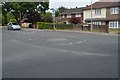
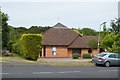
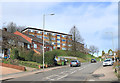
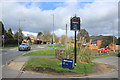
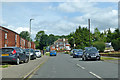
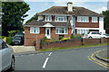
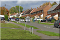
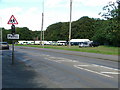
31 photos from this area
Area Information
Key information about the HP13 7LN including its size, population, and administrative classification.
- Area Type
- Postcode
- Area Size
- 1.4 hectares
- Population
- 1478
- Population Density
- 4347 people/km²
House Prices in HP13 7LN
26
Properties
£346,117
Average Sold Price
£199,950
Lowest Price
£635,000
Highest Price
Showing 26 properties
| Address | Type | Beds | Baths | Last Sale Price | Last Sale Date | |
|---|---|---|---|---|---|---|
| 246 Totteridge Road, High Wycombe, HP13 7LN | Semi-detached | 3 | 1 | £438,000 | Jul 2025 | |
| 252 Totteridge Road, High Wycombe, HP13 7LN | Semi-detached | 3 | 1 | £375,000 | Oct 2023 | |
| 254 Totteridge Road, High Wycombe, HP13 7LN | house | 3 | 1 | £450,000 | Jun 2023 | |
| 256 Totteridge Road, High Wycombe, HP13 7LN | Retail | 3 | 1 | £476,000 | Nov 2022 | |
| 268 Totteridge Road, High Wycombe, HP13 7LN | house | - | - | £367,000 | Sep 2021 | |
| 272 Totteridge Road, High Wycombe, HP13 7LN | Detached | 3 | 1 | £635,000 | Aug 2020 | |
| 238 Totteridge Road, High Wycombe, HP13 7LN | Semi-detached | 3 | 1 | £352,000 | Mar 2020 | |
| 242 Totteridge Road, High Wycombe, HP13 7LN | Semi-detached | 3 | 1 | £280,000 | Aug 2019 | |
| 276 Totteridge Road, High Wycombe, HP13 7LN | Semi-detached | 3 | 1 | £365,000 | Feb 2019 | |
| 258 Totteridge Road, High Wycombe, HP13 7LN | house | 3 | 1 | £290,000 | Feb 2019 |
Page 1 of 3
Energy Efficiency in HP13 7LN
Amenities
Schools
| Rank | School | Type | Entry gender | Ages |
|---|
Explore more schools in this area
Go to Schools tabDemographics
Household Size
Family (3-5 people)
most common
Accommodation Type
Houses
most common
Tenure
63
majority
Ethnic Group
White
most common
Religion
N/A
most common
Household Composition
N/A
most common
Age
47
median
Adults (30-64 years)
most common
Household Deprivation
N/A
with no deprivation
NS-SEC
32
in Lower managerial occupations
Explore more demographic insights in this area
Go to Demographics tabPlanning
Planning Constraints
- Flood RiskPremium
- Ramsar Wetland SitesPremium
- Area of Outstanding Natural BeautyPremium
- Protected Nature ReservePremium
- Protected WoodlandPremium