Area Overview for HP13 6NZ
Photos of HP13 6NZ
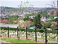
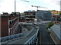
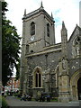
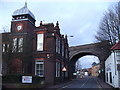
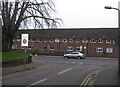
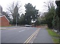
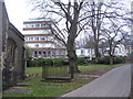
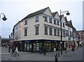
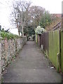
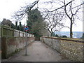
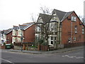
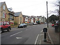
100 photos from this area
Area Information
Key information about the HP13 6NZ including its size, population, and administrative classification.
- Area Type
- Postcode
- Area Size
- 7590 m²
- Population
- 1682
- Population Density
- 6858 people/km²
House Prices in HP13 6NZ
13
Properties
£859,900
Average Sold Price
£859,900
Lowest Price
£859,900
Highest Price
Showing 13 properties
| Address | Type | Beds | Baths | Last Sale Price | Last Sale Date | |
|---|---|---|---|---|---|---|
| Hillside, 22 Amersham Hill, High Wycombe, HP13 6NZ | Detached | 6 | 5 | £859,900 | May 2016 | |
| The Coach House, 22 Amersham Hill, High Wycombe, HP13 6NZ | Detached | 3 | 2 | - | - | |
| Birch House, 22 Amersham Hill, High Wycombe, HP13 6NZ | Detached | 4 | - | - | - | |
| The Orangery, 22 Amersham Hill, High Wycombe, HP13 6NZ | Semi-detached | 2 | - | - | - | |
| Redwood House, 22 Amersham Hill, High Wycombe, HP13 6NZ | Detached | 4 | - | - | - | |
| Tw-2, Suite S2 The Old Registry, 20 Amersham Hill, High Wycombe, HP13 6NZ | Office | - | - | - | - | |
| Techlabs London, First Floor The Mews, 20 Amersham Hill, High Wycombe, HP13 6NZ | Office | - | - | - | - | |
| The Presbytery, 24 Amersham Hill, High Wycombe, HP13 6NZ | Semi-detached | - | - | - | - | |
| The Old Registry, 20 Amersham Hill, High Wycombe, HP13 6NZ | office_workshop | - | - | - | - | |
| Tw-2, Tw-2 Architects The Old Registry, 20 Amersham Hill, High Wycombe, HP13 6NZ | Office | - | - | - | - |
Page 1 of 2
Energy Efficiency in HP13 6NZ
Amenities
Schools
| Rank | School | Type | Entry gender | Ages |
|---|
Explore more schools in this area
Go to Schools tabDemographics
Household Size
One person
most common
Accommodation Type
Flats
most common
Tenure
33
majority
Ethnic Group
White
most common
Religion
N/A
most common
Household Composition
N/A
most common
Age
47
median
Adults (30-64 years)
most common
Household Deprivation
N/A
with no deprivation
NS-SEC
35
in Lower managerial occupations
Explore more demographic insights in this area
Go to Demographics tabPlanning
Planning Constraints
- Flood RiskPremium
- Ramsar Wetland SitesPremium
- Area of Outstanding Natural BeautyPremium
- Protected Nature ReservePremium
- Protected WoodlandPremium