Area Overview for HP13 5NB
Photos of HP13 5NB
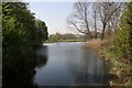
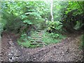
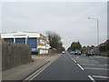
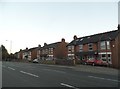
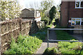
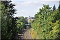
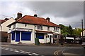
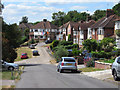
20 photos from this area
Area Information
Key information about the HP13 5NB including its size, population, and administrative classification.
- Area Type
- Postcode
- Area Size
- 2.7 hectares
- Population
- 1754
- Population Density
- 4084 people/km²
House Prices in HP13 5NB
15
Properties
£335,745
Average Sold Price
£229,950
Lowest Price
£525,000
Highest Price
Showing 15 properties
| Address | Type | Beds | Baths | Last Sale Price | Last Sale Date | |
|---|---|---|---|---|---|---|
| 33 Plomer Hill, High Wycombe, HP13 5NB | Bungalow | 3 | 2 | £450,000 | Jul 2019 | |
| 43 Plomer Hill, High Wycombe, HP13 5NB | Detached | 2 | 2 | £525,000 | May 2018 | |
| 41 Plomer Hill, High Wycombe, HP13 5NB | Bungalow | - | - | £310,000 | Aug 2012 | |
| 47 Plomer Hill, High Wycombe, HP13 5NB | Bungalow | - | - | £425,000 | Mar 2011 | |
| 51 Plomer Hill, High Wycombe, HP13 5NB | house | - | - | £350,000 | Jun 2010 | |
| 35 Plomer Hill, High Wycombe, HP13 5NB | Detached | - | - | £287,500 | Aug 2007 | |
| 39 Plomer Hill, High Wycombe, HP13 5NB | Detached | - | - | £229,950 | Jul 2005 | |
| 37 Plomer Hill, High Wycombe, HP13 5NB | house | - | - | £230,000 | Aug 2003 | |
| 45 Plomer Hill, High Wycombe, HP13 5NB | Detached | - | - | £280,000 | Oct 1999 | |
| 49 Plomer Hill, High Wycombe, HP13 5NB | Detached | - | - | £270,000 | May 1999 |
Page 1 of 2
Energy Efficiency in HP13 5NB
Amenities
Schools
| Rank | School | Type | Entry gender | Ages |
|---|
Explore more schools in this area
Go to Schools tabDemographics
Household Size
Family (3-5 people)
most common
Accommodation Type
Houses
most common
Tenure
92
majority
Ethnic Group
White
most common
Religion
N/A
most common
Household Composition
N/A
most common
Age
47
median
Adults (30-64 years)
most common
Household Deprivation
N/A
with no deprivation
NS-SEC
42
in Lower managerial occupations
Explore more demographic insights in this area
Go to Demographics tabPlanning
Planning Constraints
- Flood RiskPremium
- Ramsar Wetland SitesPremium
- Area of Outstanding Natural BeautyPremium
- Protected Nature ReservePremium
- Protected WoodlandPremium