Area Overview for HP13 5LG
Photos of HP13 5LG
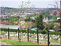
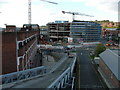
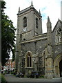

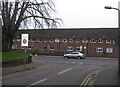
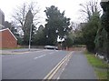
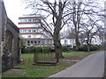
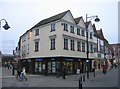
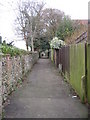
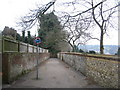
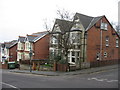
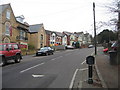
100 photos from this area
Area Information
Key information about the HP13 5LG including its size, population, and administrative classification.
- Area Type
- Postcode
- Area Size
- 1.4 hectares
- Population
- 2474
- Population Density
- 6714 people/km²
House Prices in HP13 5LG
45
Properties
£188,460
Average Sold Price
£76,500
Lowest Price
£335,000
Highest Price
Showing 45 properties
| Address | Type | Beds | Baths | Last Sale Price | Last Sale Date | |
|---|---|---|---|---|---|---|
| 15 Gandon Vale, High Wycombe, HP13 5LG | Flat | 1 | 1 | £190,000 | Mar 2025 | |
| 36 Gandon Vale, High Wycombe, HP13 5LG | Flat | 2 | 1 | £270,000 | Mar 2025 | |
| 34 Gandon Vale, High Wycombe, HP13 5LG | Flat | 1 | 1 | £180,000 | Nov 2024 | |
| 27 Gandon Vale, High Wycombe, HP13 5LG | Flat | 2 | 1 | £265,000 | Aug 2024 | |
| 22 Gandon Vale, High Wycombe, HP13 5LG | Flat | 2 | 1 | £250,000 | Oct 2022 | |
| 39 Gandon Vale, High Wycombe, HP13 5LG | Flat | 2 | 1 | £250,000 | Sep 2022 | |
| 35 Gandon Vale, High Wycombe, HP13 5LG | Flat | - | - | £265,000 | Sep 2022 | |
| 45 Gandon Vale, High Wycombe, HP13 5LG | Flat | 1 | 1 | £181,000 | Mar 2022 | |
| 18 Gandon Vale, High Wycombe, HP13 5LG | Flat | - | - | £232,500 | Feb 2022 | |
| 42 Gandon Vale, High Wycombe, HP13 5LG | Flat | - | - | £179,000 | Jun 2021 |
Page 1 of 5
Energy Efficiency in HP13 5LG
Amenities
Schools
| Rank | School | Type | Entry gender | Ages |
|---|
Explore more schools in this area
Go to Schools tabDemographics
Household Size
One person
most common
Accommodation Type
Flats
most common
Tenure
56
majority
Ethnic Group
White
most common
Religion
N/A
most common
Household Composition
N/A
most common
Age
47
median
Adults (30-64 years)
most common
Household Deprivation
N/A
with no deprivation
NS-SEC
28
in Lower managerial occupations
Explore more demographic insights in this area
Go to Demographics tabPlanning
Planning Constraints
- Flood RiskPremium
- Ramsar Wetland SitesPremium
- Area of Outstanding Natural BeautyPremium
- Protected Nature ReservePremium
- Protected WoodlandPremium