Area Overview for HP13 5DT
Photos of HP13 5DT
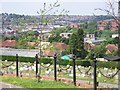
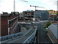
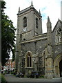
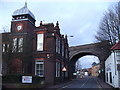
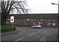
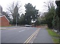
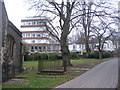
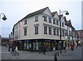
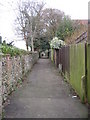
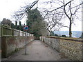
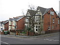
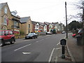
100 photos from this area
Area Information
Key information about the HP13 5DT including its size, population, and administrative classification.
- Area Type
- Postcode
- Area Size
- 1.4 hectares
- Population
- 1682
- Population Density
- 6858 people/km²
House Prices in HP13 5DT
29
Properties
£209,658
Average Sold Price
£52,000
Lowest Price
£368,000
Highest Price
Showing 29 properties
| Address | Type | Beds | Baths | Last Sale Price | Last Sale Date | |
|---|---|---|---|---|---|---|
| 4 Hughenden Road, High Wycombe, HP13 5DT | Semi-detached | 3 | 1 | £350,000 | Aug 2023 | |
| 30 Hughenden Road, High Wycombe, HP13 5DT | house | - | - | £367,500 | Sep 2022 | |
| 24 Hughenden Road, High Wycombe, HP13 5DT | house | 3 | 1 | £185,250 | May 2022 | |
| 34 Hughenden Road, High Wycombe, HP13 5DT | house | - | - | £368,000 | Sep 2021 | |
| 20 Hughenden Road, High Wycombe, HP13 5DT | Semi-detached | 3 | 1 | £287,500 | Aug 2021 | |
| 6 Hughenden Road, High Wycombe, HP13 5DT | Semi-detached | 1 | 1 | £305,000 | Apr 2021 | |
| 8 Hughenden Road, High Wycombe, HP13 5DT | Semi-detached | 2 | 1 | £334,000 | Feb 2021 | |
| 32 Hughenden Road, High Wycombe, HP13 5DT | Semi-detached | 3 | 1 | £169,011 | Dec 2011 | |
| 12 Hughenden Road, High Wycombe, HP13 5DT | house | - | - | £170,000 | Dec 2004 | |
| 44 Hughenden Road, High Wycombe, HP13 5DT | Semi-detached | 1 | 1 | £59,950 | Nov 2003 |
Page 1 of 3
Energy Efficiency in HP13 5DT
Amenities
Schools
| Rank | School | Type | Entry gender | Ages |
|---|
Explore more schools in this area
Go to Schools tabDemographics
Household Size
One person
most common
Accommodation Type
Flats
most common
Tenure
33
majority
Ethnic Group
White
most common
Religion
N/A
most common
Household Composition
N/A
most common
Age
47
median
Adults (30-64 years)
most common
Household Deprivation
N/A
with no deprivation
NS-SEC
35
in Lower managerial occupations
Explore more demographic insights in this area
Go to Demographics tabPlanning
Planning Constraints
- Flood RiskPremium
- Ramsar Wetland SitesPremium
- Area of Outstanding Natural BeautyPremium
- Protected Nature ReservePremium
- Protected WoodlandPremium