Area Overview for HP12 3JH
Photos of HP12 3JH
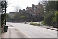
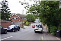
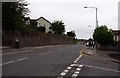
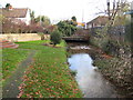
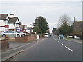
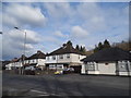
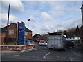
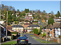
29 photos from this area
Area Information
Key information about the HP12 3JH including its size, population, and administrative classification.
- Area Type
- Postcode
- Area Size
- 1.3 hectares
- Population
- 1749
- Population Density
- 9842 people/km²
House Prices in HP12 3JH
41
Properties
£160,163
Average Sold Price
£53,940
Lowest Price
£376,000
Highest Price
Showing 41 properties
| Address | Type | Beds | Baths | Last Sale Price | Last Sale Date | |
|---|---|---|---|---|---|---|
| 54 Rutland Avenue, High Wycombe, HP12 3JH | Retail | 3 | 2 | £376,000 | Mar 2022 | |
| 86 Rutland Avenue, High Wycombe, HP12 3JH | house | - | - | £200,000 | Aug 2016 | |
| 64 Rutland Avenue, High Wycombe, HP12 3JH | Semi-detached | 3 | 1 | £248,000 | Dec 2014 | |
| 52 Rutland Avenue, High Wycombe, HP12 3JH | Semi-detached | 3 | 2 | £261,000 | Dec 2014 | |
| 70 Rutland Avenue, High Wycombe, HP12 3JH | house | 3 | - | £165,000 | Mar 2011 | |
| 92 Rutland Avenue, High Wycombe, HP12 3JH | house | - | - | £151,500 | Mar 2011 | |
| 68 Rutland Avenue, High Wycombe, HP12 3JH | house | - | - | £120,000 | Dec 2009 | |
| 98 Rutland Avenue, High Wycombe, HP12 3JH | house | - | - | £185,000 | Aug 2008 | |
| 108 Rutland Avenue, High Wycombe, HP12 3JH | Semi-detached | - | - | £107,000 | Dec 2005 | |
| 40 Rutland Avenue, High Wycombe, HP12 3JH | house | - | - | £130,000 | Oct 2003 |
Page 1 of 5
Energy Efficiency in HP12 3JH
Amenities
Schools
| Rank | School | Type | Entry gender | Ages |
|---|
Explore more schools in this area
Go to Schools tabDemographics
Household Size
Family (3-5 people)
most common
Accommodation Type
Houses
most common
Tenure
55
majority
Ethnic Group
asian_total
most common
Religion
N/A
most common
Household Composition
N/A
most common
Age
47
median
Adults (30-64 years)
most common
Household Deprivation
N/A
with no deprivation
NS-SEC
18
in Lower managerial occupations
Explore more demographic insights in this area
Go to Demographics tabPlanning
Planning Constraints
- Flood RiskPremium
- Ramsar Wetland SitesPremium
- Area of Outstanding Natural BeautyPremium
- Protected Nature ReservePremium
- Protected WoodlandPremium