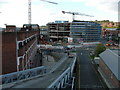
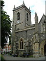
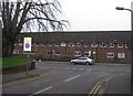
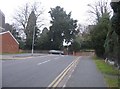
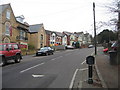
Area Overview for HP11 2XF
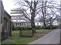
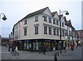
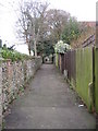
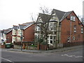
Photos of HP11 2XF


Area Information
Living in HP11 2XF means being part of a small, tightly knit residential cluster in England, home to around 2,557 residents. This area is defined by its compact nature, offering a quiet contrast to larger urban centres. The population skews toward adults aged 30–64, with a median age of 47, suggesting a mature, stable community. Flats dominate the housing stock, reflecting a mix of older and newer developments. Proximity to High Wycombe Railway Station and nearby schools like High Wycombe Church of England Combined School makes it appealing for families. The area’s digital connectivity is solid, with broadband scoring 68 and mobile coverage at 83, supporting remote work and daily internet needs. While the postcode lacks natural beauty designations or protected sites, its strategic location near rail links and retail hubs like M&S Eden and Tesco High ensures convenience. For buyers, HP11 2XF offers a blend of practicality and accessibility, though its small size means limited housing options.
- Area Type
- Postcode
- Area Size
- Not available
- Population
- 2557
- Population Density
- 4222 people/km²
The property market in HP11 2XF is characterised by a low home ownership rate of 33%, suggesting that a majority of properties are rented rather than owned. Flats are the primary accommodation type, which is common in smaller, densely populated areas. This housing stock likely includes both older buildings and newer developments, though the exact age of properties is not specified. The small size of the postcode means the housing stock is limited, and buyers should consider proximity to nearby areas for more options. With only 2,557 residents, the market is niche, and property values may be influenced by local amenities such as schools and transport links. For those seeking flats in a quiet, accessible location, HP11 2XF offers a compact alternative to larger towns, though the limited inventory may require flexibility in location or property type.
House Prices in HP11 2XF
No properties found in this postcode.
Energy Efficiency in HP11 2XF
The lifestyle in HP11 2XF is shaped by its proximity to essential amenities. Retail options include M&S Eden, Tesco High, and Sainsburys High, providing convenience for shopping and daily essentials. The nearby railway stations—High Wycombe, Bourne End, and Marlow—offer easy access to broader regional networks, supporting both commuting and leisure travel. Wycombe Air Park, though not a major airport, adds to the area’s appeal for aviation enthusiasts or those seeking alternative transport. The mix of retail, transport, and light recreational options creates a functional environment, though the area lacks large-scale leisure facilities. Residents can enjoy a quiet, accessible lifestyle with straightforward access to services, though those seeking extensive cultural or entertainment options may need to travel further.
Amenities
Schools
Residents of HP11 2XF have access to High Wycombe Church of England Combined School, a primary school with a good Ofsted rating, and Buckinghamshire New University, which serves higher education needs. The presence of a primary school with a strong rating is a significant draw for families, offering a reliable foundation for early education. The university adds to the area’s appeal for those seeking postgraduate opportunities or professional development. However, the absence of secondary schools within the postcode means families may need to look to nearby towns for secondary education. This mix of educational institutions supports a range of needs, from primary schooling to higher education, though the lack of a full school hierarchy could be a consideration for those prioritising comprehensive local facilities.
| Rank | School | Type | Entry gender | Ages |
|---|
Explore more schools in this area
Go to Schools tabDemographics
The community in HP11 2XF is predominantly composed of adults aged 30–64, with a median age of 47. Home ownership here is relatively low at 33%, indicating a higher proportion of renters compared to owner-occupiers. The accommodation type is largely flats, which is typical for smaller residential areas with limited land for detached housing. The predominant ethnic group is White, though no specific data on diversity or deprivation is provided. This age profile suggests a population focused on career stability and family life, with fewer young children or retirees. The low home ownership rate may reflect the area’s affordability or the prevalence of rental properties. For buyers, this demographic profile implies a mature market with established residents, though the small population size means limited social or commercial activity beyond essential services.
Household Size
Accommodation Type
Tenure
Ethnic Group
Religion
Household Composition
Age
Household Deprivation
NS-SEC
Explore more demographic insights in this area
Go to Demographics tabPlanning
Planning Constraints
- Flood RiskPremium
- Ramsar Wetland SitesPremium
- Area of Outstanding Natural BeautyPremium
- Protected Nature ReservePremium
- Protected WoodlandPremium