Area Overview for HP11 2QP
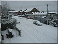
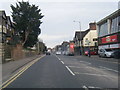
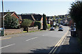
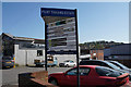
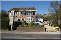
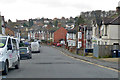
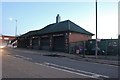
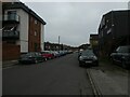
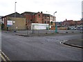
Photos of HP11 2QP


Area Information
Living in HP11 2QP offers a quiet, residential experience in a small cluster of homes. With a population of 1,651, the area is compact but well-served by essential services. The community is characterised by a mature demographic, with a median age of 47 and most residents falling within the 30–64 age range. This suggests a stable, established population, many of whom own their homes—71% of households are owner-occupied. The area’s housing stock is predominantly made up of houses, reflecting a traditional, family-oriented layout. While it is not a large town, HP11 2QP is positioned near key transport links, including multiple railway stations and a nearby airfield, which enhances its connectivity. The presence of retail outlets like Lidl Central High and M&S Eden, along with easy access to rail, means daily life is convenient. However, the small size of the area means that residents may need to look slightly further afield for broader amenities. For those seeking a settled, low-maintenance lifestyle with good infrastructure, HP11 2QP provides a straightforward, no-frills option.
- Area Type
- Postcode
- Area Size
- Not available
- Population
- 1651
- Population Density
- 3817 people/km²
The property market in HP11 2QP is characterised by high home ownership—71% of residents live in properties they own. This suggests a stable, long-term market with limited turnover, which can be advantageous for buyers seeking a secure investment. The housing stock is predominantly composed of houses, which is typical for smaller, residential areas. This contrasts with regions where flats or apartments dominate, and it may appeal to those preferring standalone homes with private gardens. However, the small size of HP11 2QP means that the immediate housing options are limited, requiring buyers to consider nearby areas for more choices. The high ownership rate also implies that rental properties are less common, which could affect availability for those seeking to rent. For prospective buyers, the area offers a straightforward market with a focus on traditional housing, though the limited scale of the postcode may necessitate a broader search for additional properties.
House Prices in HP11 2QP
No properties found in this postcode.
Energy Efficiency in HP11 2QP
Residents of HP11 2QP benefit from a range of nearby amenities that support daily life. The area is served by five retail outlets, including Lidl Central High and Aldi Baker, providing access to groceries and everyday essentials. For dining and shopping, M&S Eden adds to the local retail mix. The proximity to High Wycombe, Saunderton, and Marlow railway stations ensures easy access to larger towns, where more extensive shopping and leisure options are available. The Wycombe Air Park offers a unique amenity, catering to those with aviation interests or requiring air travel. While the area itself is small, its strategic location near rail and air links means that residents can enjoy both local convenience and broader connectivity. The mix of retail, transport, and nearby natural spaces creates a balanced lifestyle, blending practicality with accessibility.
Amenities
Schools
| Rank | School | Type | Entry gender | Ages |
|---|
Explore more schools in this area
Go to Schools tabDemographics
The community in HP11 2QP is predominantly composed of adults aged 30–64, with a median age of 47. This reflects a mature population, likely with long-standing ties to the area. Home ownership is high at 71%, indicating a stable housing market and a focus on long-term residency. The accommodation is largely houses, which aligns with the area’s small, residential character. The predominant ethnic group is the Asian community, which contributes to the area’s cultural diversity. While no specific deprivation data is provided, the high home ownership rate suggests a relatively secure economic environment. The absence of significant planning constraints or protected natural areas means the area is free from restrictions that might impact property development or lifestyle choices. However, the moderate crime risk score of 55 indicates that while not high, standard security measures are advisable. Overall, HP11 2QP is a community defined by stability, family-oriented living, and a mix of cultural backgrounds.
Household Size
Accommodation Type
Tenure
Ethnic Group
Religion
Household Composition
Age
Household Deprivation
NS-SEC
Explore more demographic insights in this area
Go to Demographics tabPlanning
Planning Constraints
- Flood RiskPremium
- Ramsar Wetland SitesPremium
- Area of Outstanding Natural BeautyPremium
- Protected Nature ReservePremium
- Protected WoodlandPremium