Area Overview for HP11 1QF
Photos of HP11 1QF

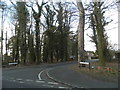
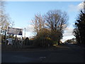
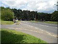
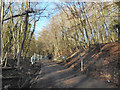
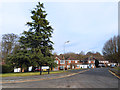
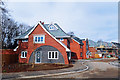
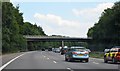
34 photos from this area
Area Information
Key information about the HP11 1QF including its size, population, and administrative classification.
- Area Type
- Postcode
- Area Size
- 1.0 hectares
- Population
- 2618
- Population Density
- 2361 people/km²
House Prices in HP11 1QF
12
Properties
£497,143
Average Sold Price
£370,000
Lowest Price
£625,000
Highest Price
Showing 12 properties
| Address | Type | Beds | Baths | Last Sale Price | Last Sale Date | |
|---|---|---|---|---|---|---|
| 10 Daws Lea, High Wycombe, HP11 1QF | Detached | 4 | 2 | £625,000 | Jun 2018 | |
| 18 Daws Lea, High Wycombe, HP11 1QF | Detached | 4 | - | £445,000 | Oct 2013 | |
| 4 Daws Lea, High Wycombe, HP11 1QF | Detached | 6 | 5 | £470,000 | Apr 2012 | |
| 16 Daws Lea, High Wycombe, HP11 1QF | house | - | - | £555,000 | May 2011 | |
| Strath Spey, Daws Lea, High Wycombe, HP11 1QF | Detached | - | - | £500,000 | Nov 2010 | |
| 14 Daws Lea, High Wycombe, HP11 1QF | Semi-detached | - | - | £515,000 | Jun 2006 | |
| 6 Daws Lea, High Wycombe, HP11 1QF | Detached | - | - | £370,000 | Sep 2003 | |
| 12 Daws Lea, High Wycombe, HP11 1QF | Detached | 4 | 2 | - | - | |
| 20 Daws Lea, High Wycombe, HP11 1QF | Detached | 4 | 2 | - | - | |
| 2 Daws Lea, High Wycombe, HP11 1QF | Detached | 6 | 5 | - | - |
Page 1 of 2
Energy Efficiency in HP11 1QF
Amenities
Schools
| Rank | School | Type | Entry gender | Ages |
|---|
Explore more schools in this area
Go to Schools tabDemographics
Household Size
Family (3-5 people)
most common
Accommodation Type
Houses
most common
Tenure
72
majority
Ethnic Group
White
most common
Religion
N/A
most common
Household Composition
N/A
most common
Age
47
median
Adults (30-64 years)
most common
Household Deprivation
N/A
with no deprivation
NS-SEC
52
in Lower managerial occupations
Explore more demographic insights in this area
Go to Demographics tabPlanning
Planning Constraints
- Flood RiskPremium
- Ramsar Wetland SitesPremium
- Area of Outstanding Natural BeautyPremium
- Protected Nature ReservePremium
- Protected WoodlandPremium