Area Overview for HP10 9AP
Photos of HP10 9AP
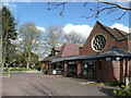
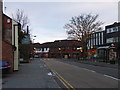
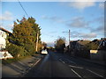
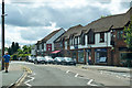
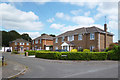
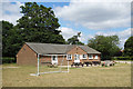

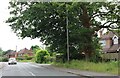
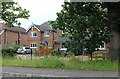
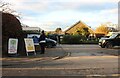
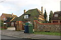
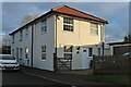
25 photos from this area
Area Information
Key information about the HP10 9AP including its size, population, and administrative classification.
- Area Type
- Postcode
- Area Size
- 1.8 hectares
- Population
- 1508
- Population Density
- 1058 people/km²
House Prices in HP10 9AP
30
Properties
£453,563
Average Sold Price
£140,000
Lowest Price
£810,000
Highest Price
Showing 30 properties
| Address | Type | Beds | Baths | Last Sale Price | Last Sale Date | |
|---|---|---|---|---|---|---|
| 54 Sedgmoor Road, Flackwell Heath, HP10 9AP | house | - | - | £780,000 | May 2021 | |
| 66 Sedgmoor Road, Flackwell Heath, HP10 9AP | house | - | - | £810,000 | Apr 2021 | |
| 56 Sedgmoor Road, Flackwell Heath, HP10 9AP | house | - | - | £472,500 | Dec 2020 | |
| 90 Sedgmoor Road, Flackwell Heath, HP10 9AP | house | - | - | £725,000 | Jan 2020 | |
| 34 Sedgmoor Road, Flackwell Heath, HP10 9AP | house | - | - | £640,000 | Oct 2018 | |
| Culpepers, 50 Sedgmoor Road, Flackwell Heath, HP10 9AP | Detached | 4 | 2 | £741,000 | Sep 2018 | |
| 58 Sedgmoor Road, Flackwell Heath, HP10 9AP | house | 3 | 1 | £430,000 | Feb 2018 | |
| 68 Sedgmoor Road, Flackwell Heath, HP10 9AP | Bungalow | 5 | - | £465,000 | Oct 2013 | |
| 84 Sedgmoor Road, Flackwell Heath, HP10 9AP | Detached | - | - | £300,000 | Jun 2005 | |
| 62 Sedgmoor Road, Flackwell Heath, HP10 9AP | Detached | - | - | £385,000 | Jan 2003 |
Page 1 of 3
Energy Efficiency in HP10 9AP
Amenities
Schools
| Rank | School | Type | Entry gender | Ages |
|---|
Explore more schools in this area
Go to Schools tabDemographics
Household Size
Two person
most common
Accommodation Type
Houses
most common
Tenure
95
majority
Ethnic Group
White
most common
Religion
N/A
most common
Household Composition
N/A
most common
Age
47
median
Adults (30-64 years)
most common
Household Deprivation
N/A
with no deprivation
NS-SEC
48
in Lower managerial occupations
Explore more demographic insights in this area
Go to Demographics tabPlanning
Planning Constraints
- Flood RiskPremium
- Ramsar Wetland SitesPremium
- Area of Outstanding Natural BeautyPremium
- Protected Nature ReservePremium
- Protected WoodlandPremium