Area Overview for Sheet (East Hampshire)
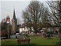
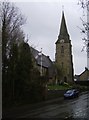
Photos of Sheet (East Hampshire)
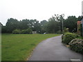
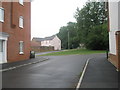
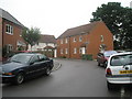
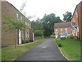
Area Information
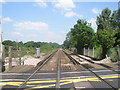
Sheet (East Hampshire) is a compact built-up area spanning 23.4 hectares, characterised by a mature demographic profile. With a median age of 70, the community is predominantly older, reflecting a settled population with a strong sense of local identity. Home ownership rates here stand at 73%, suggesting a stable housing market and a preference for long-term residency. Daily life in Sheet is shaped by its proximity to essential services, including retail hubs like Asda Ramshill and Waitrose Petersfield, as well as rail connections to Petersfield and Liss stations. The area’s appeal lies in its balance of accessibility and tranquillity, offering residents a quiet alternative to larger towns while maintaining links to nearby amenities. The presence of Sheet Primary School, rated 'good' by Ofsted, further underlines the area’s suitability for families seeking a safe, established environment. For those prioritising security and a slower pace of life, Sheet offers a distinct contrast to more densely populated regions, with its low crime risk and well-connected transport options.
- Area Type
- Built Up Area 250
- Area Size
- 23.4 hectares
- Population
- Not available
- Population Density
- Not available
Residents of Sheet (East Hampshire) have access to a range of retail and transport amenities within practical reach. Nearby shops include Asda Ramshill, The Southern Co-operative Co, and Waitrose Petersfield, offering a mix of supermarket and local shopping options. The area’s rail connections to Petersfield and Liss stations provide convenient access to public transport, enabling travel to larger towns or cities. While the data does not mention parks or leisure facilities, the presence of retail and rail amenities suggests a lifestyle focused on convenience and accessibility. The lack of detailed information on green spaces or recreational areas means these aspects cannot be assessed, but the existing amenities contribute to a practical, everyday living experience. For those valuing ease of access to shopping and transport, Sheet offers a straightforward, functional environment.
Amenities
Schools
The nearest school to Sheet (East Hampshire) is Sheet Primary School, a primary institution with a 'good' Ofsted rating. This school serves the local community, providing education for younger children within the area. The absence of secondary schools or additional educational institutions in the immediate vicinity means families may need to look beyond Sheet for secondary education options. However, the presence of a well-rated primary school is a key advantage for those prioritising quality schooling for their children. The single school listed suggests a relatively small student population, which may contribute to a more personal learning environment. For buyers considering the area, the availability of a primary school is a significant factor, though secondary education options would require additional research.
| Rank | School | Type | Entry gender | Ages |
|---|
Explore more schools in this area
Go to Schools tabDemographics
The population of Sheet (East Hampshire) is predominantly older, with a median age of 70, indicating a community where retirees and long-term residents form the majority. Home ownership is high at 73%, reflecting a preference for stable, permanent housing over rental properties. While specific data on household composition or diversity is not provided, the area’s demographic profile suggests a largely homogenous population. The absence of detailed breakdowns on ethnicity or religion means the community’s cultural or social diversity remains unspecified. For buyers considering Sheet, the age profile and home ownership rates suggest a neighbourhood with a focus on comfort and continuity rather than rapid change. The lack of specific figures on deprivation or household types means these aspects cannot be assessed, but the existing data highlights a settled, older demographic with strong ties to their homes.