Area Overview for Newnham (Basingstoke and Deane)
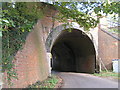
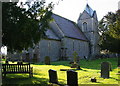
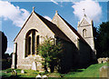
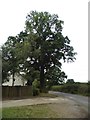
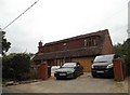
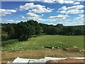
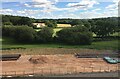
Photos of Newnham (Basingstoke and Deane)


Area Information
Living in Newnham (Basingstoke and Deane) offers a compact, well-defined environment within a 22.9-hectare built-up area. This is a town or city area, positioned near key transport hubs and amenities. The median age of 70 suggests a community skewed towards older residents, which may influence the pace of daily life and local services. The area is within practical reach of Hook Railway Station, Winchfield Railway Station, and Basingstoke Railway Station, providing regular connections to surrounding regions. Nearby, Budgens Hook, Spar, and Tesco Hook cater to everyday needs, while RAF Odiham offers a unique nearby presence. For those prioritising convenience, the proximity to multiple rail links and retail options makes Newnham a practical choice for commuters or those seeking a balance between urban and semi-rural living. The area’s size ensures a manageable scale, avoiding the sprawl of larger towns while maintaining access to essential services.
- Area Type
- Built Up Area 250
- Area Size
- 22.9 hectares
- Population
- Not available
- Population Density
- Not available
Residents of Newnham (Basingstoke and Deane) have access to essential retail and transport hubs within walking or short driving distance. Budgens Hook, Spar, and Tesco Hook provide everyday shopping needs, while the nearby railway stations offer links to Basingstoke, Winchfield, and beyond. RAF Odiham, though a military base, adds a unique element to the area’s profile. The compact nature of the built-up area ensures that amenities are not overly spread out, reducing the need for lengthy commutes. For those prioritising convenience, the proximity to multiple rail links and retail options supports a lifestyle that balances local living with regional connectivity. The absence of detailed data on parks or leisure facilities means the area’s recreational offerings remain unspecified, but the existing infrastructure suggests a focus on practicality over expansive leisure spaces.
Amenities
Schools
| Rank | School | Type | Entry gender | Ages |
|---|
Explore more schools in this area
Go to Schools tabDemographics
Newnham (Basingstoke and Deane) has a median age of 70, indicating a population predominantly in older age brackets. This suggests a community with established residents, potentially influencing local services and social dynamics. Home ownership stands at 75%, reflecting a strong presence of owner-occupied properties. The data does not specify household composition or accommodation types, but the high home ownership rate implies stability in housing tenure. The predominant ethnic group and religious breakdown are not detailed, but the area’s demographics are framed within the broader context of Basingstoke and Deane. With a median age over 70, the community may have distinct needs related to healthcare and leisure, though no specific deprivation data is provided to contextualise quality of life. The figures highlight a mature population with a clear preference for owning property over renting.
Household Size
Accommodation Type
Tenure
Ethnic Group
Religion
Household Composition
Age
Household Deprivation
NS-SEC
Explore more demographic insights in this area
Go to Demographics tabPlanning
Planning Constraints
- Crime RiskPremium