Area Overview for GU9 7PT
Photos of GU9 7PT
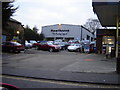
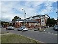
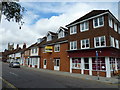
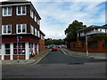
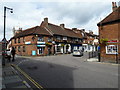

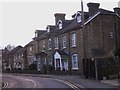
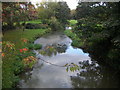
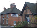
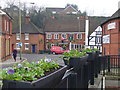

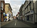
100 photos from this area
Area Information
Key information about the GU9 7PT including its size, population, and administrative classification.
- Area Type
- Postcode
- Area Size
- 1.2 hectares
- Population
- 1753
- Population Density
- 1065 people/km²
House Prices in GU9 7PT
16
Properties
£388,850
Average Sold Price
£150,000
Lowest Price
£782,000
Highest Price
Showing 16 properties
| Address | Type | Beds | Baths | Last Sale Price | Last Sale Date | |
|---|---|---|---|---|---|---|
| 4 Union Road, Farnham, GU9 7PT | Terraced | 4 | 2 | £595,000 | Sep 2021 | |
| 18 Union Road, Farnham, GU9 7PT | Terraced | 2 | 1 | £280,000 | Apr 2018 | |
| Farnham Lodge, Union Road, Farnham, GU9 7PT | Semi-detached | 3 | 1 | £782,000 | Jan 2017 | |
| 12 Union Road, Farnham, GU9 7PT | house | - | - | £275,000 | Jul 2015 | |
| 8 Union Road, Farnham, GU9 7PT | Terraced | - | - | £349,950 | Aug 2008 | |
| 6 Union Road, Farnham, GU9 7PT | Terraced | 6 | 2 | £290,000 | Feb 2005 | |
| 14 Union Road, Farnham, GU9 7PT | Cottage | 2 | 1 | £150,000 | Feb 2003 | |
| 10 Union Road, Farnham, GU9 7PT | Terraced | 4 | 1 | - | - | |
| Public Convenience, Gostry Meadow, Union Road, Farnham, GU9 7PT | commercial | - | - | - | - | |
| Bakerlaw Llp, Suite B, Gostrey House, Union Road, Farnham, GU9 7PT | Office | - | - | - | - |
Page 1 of 2
Energy Efficiency in GU9 7PT
Amenities
Schools
| Rank | School | Type | Entry gender | Ages |
|---|
Explore more schools in this area
Go to Schools tabDemographics
Household Size
One person
most common
Accommodation Type
Flats
most common
Tenure
51
majority
Ethnic Group
White
most common
Religion
N/A
most common
Household Composition
N/A
most common
Age
47
median
Adults (30-64 years)
most common
Household Deprivation
N/A
with no deprivation
NS-SEC
41
in Lower managerial occupations
Explore more demographic insights in this area
Go to Demographics tabPlanning
Planning Constraints
- Flood RiskPremium
- Ramsar Wetland SitesPremium
- Area of Outstanding Natural BeautyPremium
- Protected Nature ReservePremium
- Protected WoodlandPremium