Area Overview for GU9 7LX
Photos of GU9 7LX
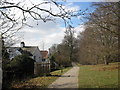
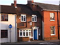
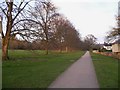
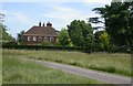
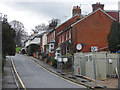
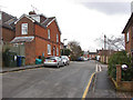
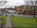
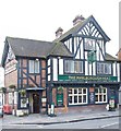
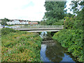
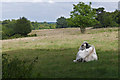

87 photos from this area
Area Information
Key information about the GU9 7LX including its size, population, and administrative classification.
- Area Type
- Postcode
- Area Size
- 2221 m²
- Population
- 1753
- Population Density
- 1065 people/km²
House Prices in GU9 7LX
11
Properties
£324,600
Average Sold Price
£97,500
Lowest Price
£530,000
Highest Price
Showing 11 properties
| Address | Type | Beds | Baths | Last Sale Price | Last Sale Date | |
|---|---|---|---|---|---|---|
| 6 St Georges Mews, Farnham, GU9 7LX | Terraced | 3 | 1 | £485,000 | Mar 2025 | |
| 5 St Georges Mews, Farnham, GU9 7LX | Terraced | 2 | 1 | £389,000 | Sep 2024 | |
| 9 St Georges Mews, Farnham, GU9 7LX | Terraced | 2 | 1 | £408,000 | Jul 2023 | |
| 7 St Georges Mews, Farnham, GU9 7LX | Maisonette | 2 | - | £285,000 | Aug 2016 | |
| 3 St Georges Mews, Farnham, GU9 7LX | Terraced | 2 | 1 | £310,500 | Jan 2015 | |
| 1 St Georges Mews, Farnham, GU9 7LX | Semi-detached | 2 | 1 | £530,000 | Jun 2014 | |
| 11 St Georges Mews, Farnham, GU9 7LX | house | 2 | - | £257,000 | Dec 2010 | |
| 4 St Georges Mews, Farnham, GU9 7LX | Terraced | 2 | - | £244,000 | May 2010 | |
| 8 St Georges Mews, Farnham, GU9 7LX | Maisonette | - | - | £240,000 | Oct 2006 | |
| 10 St Georges Mews, Farnham, GU9 7LX | Terraced | 2 | 1 | £97,500 | Jun 1995 |
Page 1 of 2
Energy Efficiency in GU9 7LX
Amenities
Schools
| Rank | School | Type | Entry gender | Ages |
|---|
Explore more schools in this area
Go to Schools tabDemographics
Household Size
One person
most common
Accommodation Type
Flats
most common
Tenure
51
majority
Ethnic Group
White
most common
Religion
N/A
most common
Household Composition
N/A
most common
Age
47
median
Adults (30-64 years)
most common
Household Deprivation
N/A
with no deprivation
NS-SEC
41
in Lower managerial occupations
Explore more demographic insights in this area
Go to Demographics tabPlanning
Planning Constraints
- Flood RiskPremium
- Ramsar Wetland SitesPremium
- Area of Outstanding Natural BeautyPremium
- Protected Nature ReservePremium
- Protected WoodlandPremium