Area Overview for GU9 7AQ
Photos of GU9 7AQ
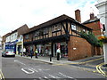
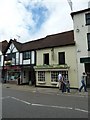
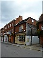
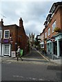
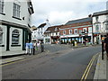
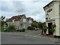
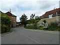
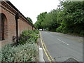
100 photos from this area
Area Information
Key information about the GU9 7AQ including its size, population, and administrative classification.
- Area Type
- Postcode
- Area Size
- 1.0 hectares
- Population
- 1595
- Population Density
- 3001 people/km²
House Prices in GU9 7AQ
44
Properties
£235,000
Average Sold Price
£65,000
Lowest Price
£380,000
Highest Price
Showing 44 properties
| Address | Type | Beds | Baths | Last Sale Price | Last Sale Date | |
|---|---|---|---|---|---|---|
| 117 The Chantrys, Farnham, GU9 7AQ | Flat | 4 | 1 | £265,000 | Mar 2025 | |
| 127 The Chantrys, Farnham, GU9 7AQ | Terraced | 3 | 1 | £277,000 | Mar 2024 | |
| 129 The Chantrys, Farnham, GU9 7AQ | Terraced | 4 | 1 | £326,000 | Jul 2023 | |
| 79 The Chantrys, Farnham, GU9 7AQ | Flat | - | - | £118,000 | Mar 2023 | |
| 87 The Chantrys, Farnham, GU9 7AQ | Terraced | 2 | 1 | £380,000 | Dec 2022 | |
| 63 The Chantrys, Farnham, GU9 7AQ | Terraced | 3 | 1 | £285,000 | Oct 2018 | |
| 101 The Chantrys, Farnham, GU9 7AQ | Terraced | 4 | 1 | £275,000 | Apr 2018 | |
| 131 The Chantrys, Farnham, GU9 7AQ | house | - | - | £235,000 | Dec 2015 | |
| 61 The Chantrys, Farnham, GU9 7AQ | house | - | - | £205,000 | Aug 2013 | |
| 67 The Chantrys, Farnham, GU9 7AQ | house | 4 | 1 | £154,000 | Aug 2002 |
Page 1 of 5
Energy Efficiency in GU9 7AQ
Amenities
Schools
| Rank | School | Type | Entry gender | Ages |
|---|
Explore more schools in this area
Go to Schools tabDemographics
Household Size
One person
most common
Accommodation Type
Houses
most common
Tenure
53
majority
Ethnic Group
White
most common
Religion
N/A
most common
Household Composition
N/A
most common
Age
47
median
Adults (30-64 years)
most common
Household Deprivation
N/A
with no deprivation
NS-SEC
37
in Lower managerial occupations
Explore more demographic insights in this area
Go to Demographics tabPlanning
Planning Constraints
- Flood RiskPremium
- Ramsar Wetland SitesPremium
- Area of Outstanding Natural BeautyPremium
- Protected Nature ReservePremium
- Protected WoodlandPremium