Area Overview for GU9 0NP
Photos of GU9 0NP

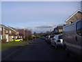
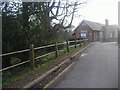
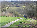
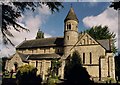

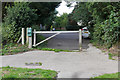
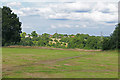
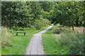
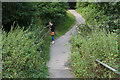
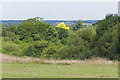
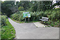
54 photos from this area
Area Information
Key information about the GU9 0NP including its size, population, and administrative classification.
- Area Type
- Postcode
- Area Size
- 10.3 hectares
- Population
- 1572
- Population Density
- 1438 people/km²
House Prices in GU9 0NP
42
Properties
£398,106
Average Sold Price
£142,000
Lowest Price
£585,000
Highest Price
Showing 42 properties
| Address | Type | Beds | Baths | Last Sale Price | Last Sale Date | |
|---|---|---|---|---|---|---|
| 19 Oast House Crescent, Farnham, GU9 0NP | house | - | - | £585,000 | May 2024 | |
| 53 Oast House Crescent, Farnham, GU9 0NP | Detached | 4 | 1 | £570,000 | Jul 2023 | |
| 61 Oast House Crescent, Farnham, GU9 0NP | house | - | - | £435,000 | Jul 2023 | |
| 29 Oast House Crescent, Farnham, GU9 0NP | Detached | 3 | 1 | £455,000 | Feb 2023 | |
| 13 Oast House Crescent, Farnham, GU9 0NP | Detached | 4 | 2 | £500,000 | Dec 2020 | |
| 3B Oast House Crescent, Farnham, GU9 0NP | Detached | 1 | 2 | £585,000 | Jan 2020 | |
| 39 Oast House Crescent, Farnham, GU9 0NP | Detached | 4 | 1 | £525,000 | Dec 2018 | |
| 45 Oast House Crescent, Farnham, GU9 0NP | Detached | 4 | - | £427,500 | Dec 2018 | |
| 51 Oast House Crescent, Farnham, GU9 0NP | Detached | 4 | 1 | £530,000 | Nov 2018 | |
| 69 Oast House Crescent, Farnham, GU9 0NP | Detached | 4 | 4 | £450,000 | Sep 2018 |
Page 1 of 5
Energy Efficiency in GU9 0NP
Amenities
Schools
| Rank | School | Type | Entry gender | Ages |
|---|
Explore more schools in this area
Go to Schools tabDemographics
Household Size
Two person
most common
Accommodation Type
Houses
most common
Tenure
89
majority
Ethnic Group
White
most common
Religion
N/A
most common
Household Composition
N/A
most common
Age
47
median
Adults (30-64 years)
most common
Household Deprivation
N/A
with no deprivation
NS-SEC
53
in Lower managerial occupations
Explore more demographic insights in this area
Go to Demographics tabPlanning
Planning Constraints
- Flood RiskPremium
- Ramsar Wetland SitesPremium
- Area of Outstanding Natural BeautyPremium
- Protected Nature ReservePremium
- Protected WoodlandPremium