Area Overview for GU8 6NN
Photos of GU8 6NN
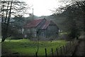
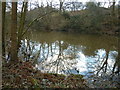
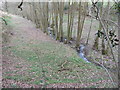
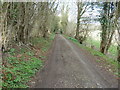
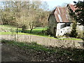


18 photos from this area
Area Information
Key information about the GU8 6NN including its size, population, and administrative classification.
- Area Type
- Postcode
- Area Size
- 98.0 hectares
- Population
- 1125
- Population Density
- 36 people/km²
House Prices in GU8 6NN
11
Properties
£630,000
Average Sold Price
£450,000
Lowest Price
£810,000
Highest Price
Showing 11 properties
| Address | Type | Beds | Baths | Last Sale Price | Last Sale Date | |
|---|---|---|---|---|---|---|
| Stone Barn, Bedford Lane, Thursley, Godalming, GU8 6NN | Cottage | 2 | 1 | £450,000 | Sep 2019 | |
| Cosford Farm, Bedford Lane, Thursley, Godalming, GU8 6NN | house | - | - | £810,000 | Feb 1998 | |
| Hole Farm, Bedford Lane, Thursley, Godalming, GU8 6NN | Detached | 6 | - | - | - | |
| Tennis 60M From Cosford House, Bedford Lane 24M From Unnamed Road, French Lane, Thursley, Godalming, GU8 6NN | Leisure | - | - | - | - | |
| Cosford Farm Cottage, Bedford Lane, Thursley, Godalming, GU8 6NN | Flat | - | - | - | - | |
| Bedford Farmhouse, Bedford Lane, Thursley, Godalming, GU8 6NN | Detached | - | - | - | - | |
| Hindhead Hill Farm, Bedford Lane, Thursley, Godalming, GU8 6NN | Bungalow | - | - | - | - | |
| Bedford Farm, Bedford Lane, Thursley, Godalming, GU8 6NN | house | - | - | - | - | |
| Hole Cottage, Bedford Lane, Thursley, Godalming, GU8 6NN | Detached | - | - | - | - | |
| Bedford Cottage, Bedford Lane, Thursley, Godalming, GU8 6NN | Detached | - | - | - | - |
Page 1 of 2
Energy Efficiency in GU8 6NN
Amenities
Schools
| Rank | School | Type | Entry gender | Ages |
|---|
Explore more schools in this area
Go to Schools tabDemographics
Household Size
Two person
most common
Accommodation Type
Houses
most common
Tenure
82
majority
Ethnic Group
White
most common
Religion
N/A
most common
Household Composition
N/A
most common
Age
47
median
Adults (30-64 years)
most common
Household Deprivation
N/A
with no deprivation
NS-SEC
49
in Lower managerial occupations
Explore more demographic insights in this area
Go to Demographics tabPlanning
Planning Constraints
- Flood RiskPremium
- Ramsar Wetland SitesPremium
- Area of Outstanding Natural BeautyPremium
- Protected Nature ReservePremium
- Protected WoodlandPremium