Area Overview for GU7 3NY
Photos of GU7 3NY
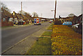
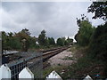
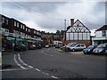
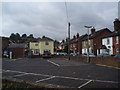
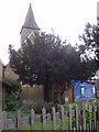
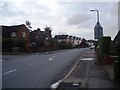
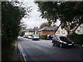
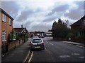
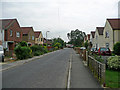
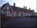
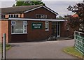
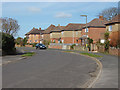
76 photos from this area
Area Information
Key information about the GU7 3NY including its size, population, and administrative classification.
- Area Type
- Postcode
- Area Size
- 1.1 hectares
- Population
- 1351
- Population Density
- 5481 people/km²
House Prices in GU7 3NY
28
Properties
£274,583
Average Sold Price
£90,000
Lowest Price
£525,000
Highest Price
Showing 28 properties
| Address | Type | Beds | Baths | Last Sale Price | Last Sale Date | |
|---|---|---|---|---|---|---|
| 36 Silo Close, Farncombe, Godalming, GU7 3NY | Semi-detached | 3 | 1 | £450,000 | Sep 2018 | |
| 11 Silo Close, Farncombe, Godalming, GU7 3NY | Semi-detached | 4 | 2 | £525,000 | Aug 2018 | |
| 18 Silo Close, Farncombe, Godalming, GU7 3NY | Bungalow | 2 | 1 | £182,500 | Nov 2011 | |
| 34 Silo Close, Farncombe, Godalming, GU7 3NY | Semi-detached | - | - | £225,000 | May 2005 | |
| 10 Silo Close, Farncombe, Godalming, GU7 3NY | Semi-detached | - | - | £175,000 | Jan 2001 | |
| 9 Silo Close, Farncombe, Godalming, GU7 3NY | Semi-detached | - | - | £90,000 | Oct 1997 | |
| 14 Silo Close, Farncombe, Godalming, GU7 3NY | Bungalow | - | - | - | - | |
| 13 Silo Close, Farncombe, Godalming, GU7 3NY | Bungalow | - | - | - | - | |
| 22 Silo Close, Farncombe, Godalming, GU7 3NY | Bungalow | - | - | - | - | |
| 32 Silo Close, Farncombe, Godalming, GU7 3NY | Bungalow | - | - | - | - |
Page 1 of 3
Energy Efficiency in GU7 3NY
Amenities
Schools
| Rank | School | Type | Entry gender | Ages |
|---|
Explore more schools in this area
Go to Schools tabDemographics
Household Size
Family (3-5 people)
most common
Accommodation Type
Houses
most common
Tenure
49
majority
Ethnic Group
White
most common
Religion
N/A
most common
Household Composition
N/A
most common
Age
47
median
Adults (30-64 years)
most common
Household Deprivation
N/A
with no deprivation
NS-SEC
35
in Lower managerial occupations
Explore more demographic insights in this area
Go to Demographics tabPlanning
Planning Constraints
- Flood RiskPremium
- Ramsar Wetland SitesPremium
- Area of Outstanding Natural BeautyPremium
- Protected Nature ReservePremium
- Protected WoodlandPremium