Area Overview for GU7 1UN
Photos of GU7 1UN
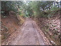
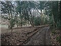
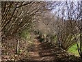
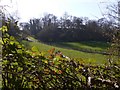
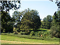
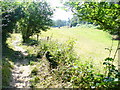
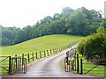
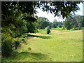
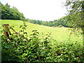
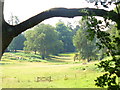
10 photos from this area
Area Information
Key information about the GU7 1UN including its size, population, and administrative classification.
- Area Type
- Postcode
- Area Size
- 40.6 hectares
- Population
- 1826
- Population Density
- 69 people/km²
House Prices in GU7 1UN
14
Properties
£1,297,333
Average Sold Price
£340,000
Lowest Price
£2,912,000
Highest Price
Showing 14 properties
| Address | Type | Beds | Baths | Last Sale Price | Last Sale Date | |
|---|---|---|---|---|---|---|
| Crossways, Heath Lane, Godalming, GU7 1UN | house | - | - | £967,000 | Dec 2023 | |
| Heath Lane House, Heath Lane, Godalming, GU7 1UN | Detached | 1 | 1 | £1,250,000 | May 2023 | |
| MUNSTEAD WOOD, HEATH LANE, Godalming, GU7 1UN | Detached | - | - | £2,912,000 | Apr 2023 | |
| Dormers, Heath Lane, Godalming, GU7 1UN | house | - | - | £1,390,000 | Dec 2017 | |
| The Quadrangle, Heath Lane, Godalming, GU7 1UN | Detached | - | - | £925,000 | Jul 2001 | |
| Longacre, Heath Lane, Godalming, GU7 1UN | Detached | - | - | £340,000 | Jul 2000 | |
| Munstead Place, Heath Lane, Godalming, GU7 1UN | Detached | 6 | 4 | - | - | |
| THE FLAT, MUNSTEAD PLACE, HEATH LANE, Godalming, GU7 1UN | Flat | - | - | - | - | |
| Heath Farm House, Heath Lane, Godalming, GU7 1UN | Detached | - | - | - | - | |
| Mobile Home, Heath Farm Cottage, Heath Lane, Godalming, GU7 1UN | Mobile Home | - | - | - | - |
Page 1 of 2
Energy Efficiency in GU7 1UN
Amenities
Schools
| Rank | School | Type | Entry gender | Ages |
|---|
Explore more schools in this area
Go to Schools tabDemographics
Household Size
Family (3-5 people)
most common
Accommodation Type
Houses
most common
Tenure
75
majority
Ethnic Group
White
most common
Religion
N/A
most common
Household Composition
N/A
most common
Age
47
median
Adults (30-64 years)
most common
Household Deprivation
N/A
with no deprivation
NS-SEC
53
in Lower managerial occupations
Explore more demographic insights in this area
Go to Demographics tabPlanning
Planning Constraints
- Flood RiskPremium
- Ramsar Wetland SitesPremium
- Area of Outstanding Natural BeautyPremium
- Protected Nature ReservePremium
- Protected WoodlandPremium