Area Overview for GU6 7PY
Photos of GU6 7PY
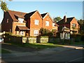
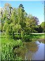
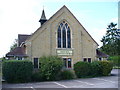

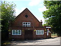
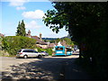
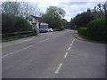
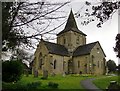
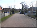
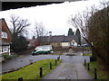
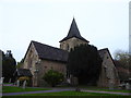
74 photos from this area
Area Information
Key information about the GU6 7PY including its size, population, and administrative classification.
- Area Type
- Postcode
- Area Size
- 1.3 hectares
- Population
- 2361
- Population Density
- 144 people/km²
House Prices in GU6 7PY
34
Properties
£369,071
Average Sold Price
£85,714
Lowest Price
£530,000
Highest Price
Showing 34 properties
| Address | Type | Beds | Baths | Last Sale Price | Last Sale Date | |
|---|---|---|---|---|---|---|
| 21 The Glebe, Ewhurst, Cranleigh, GU6 7PY | Terraced | 3 | 2 | £450,000 | Jun 2021 | |
| Brambles, 43 The Glebe, Ewhurst, Cranleigh, GU6 7PY | Detached | 4 | 1 | £527,000 | Mar 2021 | |
| Altona, 31 The Glebe, Ewhurst, Cranleigh, GU6 7PY | Terraced | 2 | 1 | £305,000 | Aug 2018 | |
| 41 The Glebe, Ewhurst, Cranleigh, GU6 7PY | house | - | - | £530,000 | Aug 2017 | |
| Spire View, 35 The Glebe, Ewhurst, Cranleigh, GU6 7PY | Detached | 5 | 2 | £515,000 | Mar 2015 | |
| 27 The Glebe, Ewhurst, Cranleigh, GU6 7PY | house | - | - | £295,000 | Mar 2014 | |
| 33 The Glebe, Ewhurst, Cranleigh, GU6 7PY | Semi-detached | 3 | - | £338,000 | Feb 2014 | |
| 29 The Glebe, Ewhurst, Cranleigh, GU6 7PY | Terraced | 2 | - | £235,000 | Mar 2012 | |
| Buttermere, 39 The Glebe, Ewhurst, Cranleigh, GU6 7PY | house | 4 | - | £410,000 | Jun 2011 | |
| 25 The Glebe, Ewhurst, Cranleigh, GU6 7PY | Terraced | - | - | £85,714 | Sep 1999 |
Page 1 of 4
Energy Efficiency in GU6 7PY
Amenities
Schools
| Rank | School | Type | Entry gender | Ages |
|---|
Explore more schools in this area
Go to Schools tabDemographics
Household Size
Two person
most common
Accommodation Type
Houses
most common
Tenure
80
majority
Ethnic Group
White
most common
Religion
N/A
most common
Household Composition
N/A
most common
Age
47
median
Adults (30-64 years)
most common
Household Deprivation
N/A
with no deprivation
NS-SEC
41
in Lower managerial occupations
Explore more demographic insights in this area
Go to Demographics tabPlanning
Planning Constraints
- Flood RiskPremium
- Ramsar Wetland SitesPremium
- Area of Outstanding Natural BeautyPremium
- Protected Nature ReservePremium
- Protected WoodlandPremium