Area Overview for GU6 7JJ
Photos of GU6 7JJ
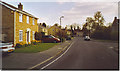

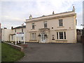
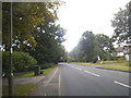
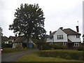
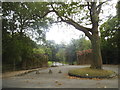
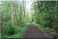
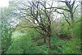
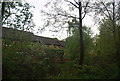
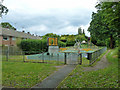

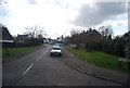
39 photos from this area
Area Information
Key information about the GU6 7JJ including its size, population, and administrative classification.
- Area Type
- Postcode
- Area Size
- 9055 m²
- Population
- 1418
- Population Density
- 3247 people/km²
House Prices in GU6 7JJ
26
Properties
£210,408
Average Sold Price
£101,000
Lowest Price
£361,500
Highest Price
Showing 26 properties
| Address | Type | Beds | Baths | Last Sale Price | Last Sale Date | |
|---|---|---|---|---|---|---|
| 51 Queensway, Cranleigh, GU6 7JJ | house | 2 | 1 | £330,000 | Mar 2025 | |
| 41 Queensway, Cranleigh, GU6 7JJ | house | - | - | £361,500 | Dec 2021 | |
| 44 Queensway, Cranleigh, GU6 7JJ | Terraced | - | - | £175,000 | Nov 2006 | |
| 50 Queensway, Cranleigh, GU6 7JJ | Terraced | - | - | £169,950 | Jun 2004 | |
| 43 Queensway, Cranleigh, GU6 7JJ | Terraced | - | - | £125,000 | Oct 2001 | |
| 45 Queensway, Cranleigh, GU6 7JJ | house | - | - | £101,000 | Mar 1999 | |
| Flat 2, First Floor, 52 Queensway, Cranleigh, GU6 7JJ | Flat | - | - | - | - | |
| Flat 1, 52 Queensway, Cranleigh, GU6 7JJ | Flat | - | - | - | - | |
| 29 Queensway, Cranleigh, GU6 7JJ | Flat | - | - | - | - | |
| 48 Queensway, Cranleigh, GU6 7JJ | Terraced | - | - | - | - |
Page 1 of 3
Energy Efficiency in GU6 7JJ
Amenities
Schools
| Rank | School | Type | Entry gender | Ages |
|---|
Explore more schools in this area
Go to Schools tabDemographics
Household Size
Two person
most common
Accommodation Type
Houses
most common
Tenure
77
majority
Ethnic Group
White
most common
Religion
N/A
most common
Household Composition
N/A
most common
Age
47
median
Adults (30-64 years)
most common
Household Deprivation
N/A
with no deprivation
NS-SEC
45
in Lower managerial occupations
Explore more demographic insights in this area
Go to Demographics tabPlanning
Planning Constraints
- Flood RiskPremium
- Ramsar Wetland SitesPremium
- Area of Outstanding Natural BeautyPremium
- Protected Nature ReservePremium
- Protected WoodlandPremium