Area Overview for GU6 7BL
Photos of GU6 7BL
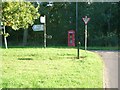
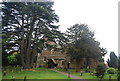

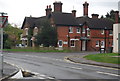
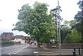
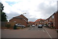
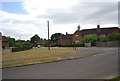
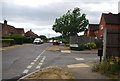
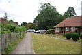
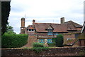
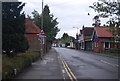
92 photos from this area
Area Information
Key information about the GU6 7BL including its size, population, and administrative classification.
- Area Type
- Postcode
- Area Size
- 1.6 hectares
- Population
- 1827
- Population Density
- 3735 people/km²
House Prices in GU6 7BL
25
Properties
£373,442
Average Sold Price
£50,000
Lowest Price
£575,000
Highest Price
Showing 25 properties
| Address | Type | Beds | Baths | Last Sale Price | Last Sale Date | |
|---|---|---|---|---|---|---|
| 15 Summerlands, Cranleigh, GU6 7BL | Detached | 3 | 2 | £497,500 | Dec 2025 | |
| 11 Summerlands, Cranleigh, GU6 7BL | Semi-detached | 3 | 1 | £500,000 | Jun 2025 | |
| 7 Summerlands, Cranleigh, GU6 7BL | Bungalow | - | - | £575,000 | Jun 2023 | |
| Conker Tree Cottage, Summerlands, Cranleigh, GU6 7BL | Semi-detached | 3 | 1 | £412,000 | Aug 2022 | |
| 20 Summerlands, Cranleigh, GU6 7BL | house | - | - | £555,000 | Jun 2021 | |
| 4 Summerlands, Cranleigh, GU6 7BL | Detached | 4 | 1 | £440,000 | Nov 2020 | |
| 1 Summerlands, Cranleigh, GU6 7BL | Bungalow | - | - | £465,000 | Oct 2020 | |
| 10 Summerlands, Cranleigh, GU6 7BL | Detached | 4 | 1 | £485,000 | Aug 2020 | |
| 17 Summerlands, Cranleigh, GU6 7BL | Bungalow | - | - | £350,000 | Dec 2017 | |
| Melford, 5 Summerlands, Cranleigh, GU6 7BL | Bungalow | - | - | £425,000 | May 2017 |
Page 1 of 3
Energy Efficiency in GU6 7BL
Amenities
Schools
| Rank | School | Type | Entry gender | Ages |
|---|
Explore more schools in this area
Go to Schools tabDemographics
Household Size
One person
most common
Accommodation Type
Houses
most common
Tenure
52
majority
Ethnic Group
White
most common
Religion
N/A
most common
Household Composition
N/A
most common
Age
47
median
Adults (30-64 years)
most common
Household Deprivation
N/A
with no deprivation
NS-SEC
32
in Lower managerial occupations
Explore more demographic insights in this area
Go to Demographics tabPlanning
Planning Constraints
- Flood RiskPremium
- Ramsar Wetland SitesPremium
- Area of Outstanding Natural BeautyPremium
- Protected Nature ReservePremium
- Protected WoodlandPremium