Area Overview for GU6 7AE
Photos of GU6 7AE
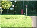
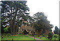

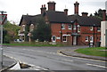
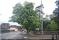
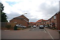
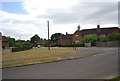
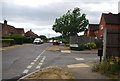
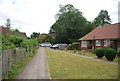
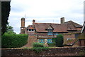
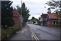
92 photos from this area
Area Information
Key information about the GU6 7AE including its size, population, and administrative classification.
- Area Type
- Postcode
- Area Size
- 7466 m²
- Population
- 1827
- Population Density
- 3735 people/km²
House Prices in GU6 7AE
13
Properties
£334,345
Average Sold Price
£124,950
Lowest Price
£515,000
Highest Price
Showing 13 properties
| Address | Type | Beds | Baths | Last Sale Price | Last Sale Date | |
|---|---|---|---|---|---|---|
| Hollybrook, Ewhurst Road, Cranleigh, GU6 7AE | Semi-detached | 3 | 1 | £430,000 | Dec 2017 | |
| Tudor Lodge, Ewhurst Road, Cranleigh, GU6 7AE | Bungalow | 2 | - | £328,000 | Jun 2014 | |
| Daisies, Ewhurst Road, Cranleigh, GU6 7AE | house | 3 | 2 | £465,000 | Aug 2011 | |
| White Cottage, Ewhurst Road, Cranleigh, GU6 7AE | Detached | 4 | 2 | £515,000 | Aug 2010 | |
| 2, Lades Cottages, Ewhurst Road, Cranleigh, GU6 7AE | Semi-detached | - | - | £143,120 | Oct 1998 | |
| Crane House, Ewhurst Road, Cranleigh, GU6 7AE | Semi-detached | - | - | £124,950 | Jul 1997 | |
| Flat, The White Hart, Ewhurst Road, Cranleigh, GU6 7AE | Flat | - | - | - | - | |
| Scancad Services Ltd, Scancad Services Sussex House, Ewhurst Road, Cranleigh, GU6 7AE | Office | - | - | - | - | |
| 4, Lades Cottages, Ewhurst Road, Cranleigh, GU6 7AE | Semi-detached | 2 | 1 | - | - | |
| 1, Lades Cottages, Ewhurst Road, Cranleigh, GU6 7AE | house | - | - | - | - |
Page 1 of 2
Energy Efficiency in GU6 7AE
Amenities
Schools
| Rank | School | Type | Entry gender | Ages |
|---|
Explore more schools in this area
Go to Schools tabDemographics
Household Size
One person
most common
Accommodation Type
Houses
most common
Tenure
52
majority
Ethnic Group
White
most common
Religion
N/A
most common
Household Composition
N/A
most common
Age
47
median
Adults (30-64 years)
most common
Household Deprivation
N/A
with no deprivation
NS-SEC
32
in Lower managerial occupations
Explore more demographic insights in this area
Go to Demographics tabPlanning
Planning Constraints
- Flood RiskPremium
- Ramsar Wetland SitesPremium
- Area of Outstanding Natural BeautyPremium
- Protected Nature ReservePremium
- Protected WoodlandPremium