Area Overview for GU52 6PZ
Photos of GU52 6PZ
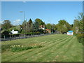

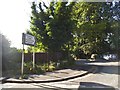

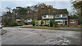
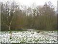
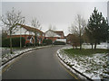
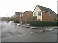
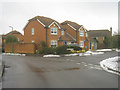
43 photos from this area
Area Information
Key information about the GU52 6PZ including its size, population, and administrative classification.
- Area Type
- Postcode
- Area Size
- 1.2 hectares
- Population
- 1861
- Population Density
- 4169 people/km²
House Prices in GU52 6PZ
23
Properties
£331,763
Average Sold Price
£97,000
Lowest Price
£625,000
Highest Price
Showing 23 properties
| Address | Type | Beds | Baths | Last Sale Price | Last Sale Date | |
|---|---|---|---|---|---|---|
| An Cala, Cavendish Road, Church Crookham, Fleet, GU52 6PZ | Detached | 4 | 1 | £625,000 | Feb 2022 | |
| Lyndons, Cavendish Road, Church Crookham, Fleet, GU52 6PZ | house | - | - | £440,000 | Apr 2021 | |
| 9 Cavendish Road, Church Crookham, Fleet, GU52 6PZ | house | - | - | £407,000 | Nov 2020 | |
| 8 Cavendish Road, Church Crookham, Fleet, GU52 6PZ | Semi-detached | 3 | 2 | £413,000 | Aug 2017 | |
| Brenack, Cavendish Road, Church Crookham, Fleet, GU52 6PZ | Detached | 3 | 1 | £389,950 | Jul 2015 | |
| The Farthings, Cavendish Road, Church Crookham, Fleet, GU52 6PZ | house | - | - | £395,250 | Oct 2012 | |
| 2 Cavendish Road, Church Crookham, Fleet, GU52 6PZ | house | - | - | £450,000 | Jul 2009 | |
| Ridgewood, Cavendish Road, Church Crookham, Fleet, GU52 6PZ | Detached | - | - | £315,000 | Apr 2007 | |
| 7 Cavendish Road, Church Crookham, Fleet, GU52 6PZ | Semi-detached | - | - | £242,000 | Jan 2006 | |
| Copse View, Cavendish Road, Church Crookham, Fleet, GU52 6PZ | Detached | - | - | £265,000 | Mar 2004 |
Page 1 of 3
Energy Efficiency in GU52 6PZ
Amenities
Schools
| Rank | School | Type | Entry gender | Ages |
|---|
Explore more schools in this area
Go to Schools tabDemographics
Household Size
Family (3-5 people)
most common
Accommodation Type
Houses
most common
Tenure
91
majority
Ethnic Group
White
most common
Religion
N/A
most common
Household Composition
N/A
most common
Age
47
median
Adults (30-64 years)
most common
Household Deprivation
N/A
with no deprivation
NS-SEC
46
in Lower managerial occupations
Explore more demographic insights in this area
Go to Demographics tabPlanning
Planning Constraints
- Flood RiskPremium
- Ramsar Wetland SitesPremium
- Area of Outstanding Natural BeautyPremium
- Protected Nature ReservePremium
- Protected WoodlandPremium