Area Overview for GU51 4EG
Photos of GU51 4EG

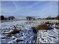
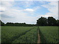
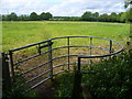
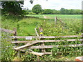
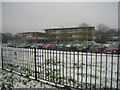
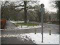
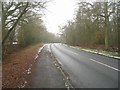
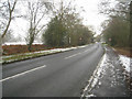
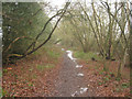
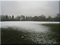
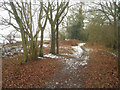
28 photos from this area
Area Information
Key information about the GU51 4EG including its size, population, and administrative classification.
- Area Type
- Postcode
- Area Size
- 3.5 hectares
- Population
- 1348
- Population Density
- 3723 people/km²
House Prices in GU51 4EG
31
Properties
£264,539
Average Sold Price
£62,000
Lowest Price
£375,000
Highest Price
Showing 31 properties
| Address | Type | Beds | Baths | Last Sale Price | Last Sale Date | |
|---|---|---|---|---|---|---|
| 3 The Croft, Fleet, GU51 4EG | Terraced | 3 | 1 | £365,000 | Nov 2025 | |
| 28 The Croft, Fleet, GU51 4EG | Detached | 3 | 1 | £340,000 | Mar 2025 | |
| 34 The Croft, Fleet, GU51 4EG | Terraced | 3 | 1 | £348,000 | Oct 2024 | |
| 32 The Croft, Fleet, GU51 4EG | Terraced | 3 | 1 | £359,000 | Jun 2024 | |
| 38 The Croft, Fleet, GU51 4EG | Terraced | 3 | 1 | £375,000 | Oct 2023 | |
| 30 The Croft, Fleet, GU51 4EG | Terraced | 3 | 1 | £360,000 | Aug 2023 | |
| 8 The Croft, Fleet, GU51 4EG | Terraced | 3 | 1 | £340,000 | Aug 2022 | |
| 21 The Croft, Fleet, GU51 4EG | Terraced | 3 | 1 | £310,000 | Aug 2020 | |
| 14 The Croft, Fleet, GU51 4EG | house | 3 | 1 | £325,000 | May 2020 | |
| 23 The Croft, Fleet, GU51 4EG | Terraced | 3 | 1 | £320,000 | Sep 2019 |
Page 1 of 4
Energy Efficiency in GU51 4EG
Amenities
Schools
| Rank | School | Type | Entry gender | Ages |
|---|
Explore more schools in this area
Go to Schools tabDemographics
Household Size
Family (3-5 people)
most common
Accommodation Type
Houses
most common
Tenure
60
majority
Ethnic Group
White
most common
Religion
N/A
most common
Household Composition
N/A
most common
Age
47
median
Adults (30-64 years)
most common
Household Deprivation
N/A
with no deprivation
NS-SEC
43
in Lower managerial occupations
Explore more demographic insights in this area
Go to Demographics tabPlanning
Planning Constraints
- Flood RiskPremium
- Ramsar Wetland SitesPremium
- Area of Outstanding Natural BeautyPremium
- Protected Nature ReservePremium
- Protected WoodlandPremium