Area Overview for GU51 3FT
Photos of GU51 3FT
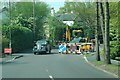

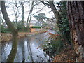
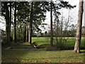

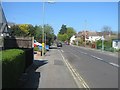
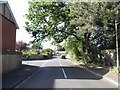
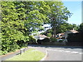
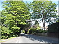
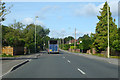
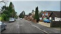
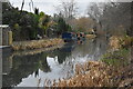
55 photos from this area
Area Information
Key information about the GU51 3FT including its size, population, and administrative classification.
- Area Type
- Postcode
- Area Size
- 2.1 hectares
- Population
- 1630
- Population Density
- 3759 people/km²
House Prices in GU51 3FT
31
Properties
£361,192
Average Sold Price
£3,000
Lowest Price
£850,000
Highest Price
Showing 31 properties
| Address | Type | Beds | Baths | Last Sale Price | Last Sale Date | |
|---|---|---|---|---|---|---|
| 50 Aldershot Road, Fleet, GU51 3FT | Semi-detached | 4 | 1 | £525,000 | Nov 2024 | |
| 90 Aldershot Road, Fleet, GU51 3FT | Detached | 3 | 2 | £475,000 | Jan 2024 | |
| 44 Aldershot Road, Fleet, GU51 3FT | Detached | 5 | 2 | £850,000 | Dec 2023 | |
| 54 Aldershot Road, Fleet, GU51 3FT | Retail | 4 | 1 | £485,000 | Jun 2022 | |
| 56 Aldershot Road, Fleet, GU51 3FT | Semi-detached | 4 | 1 | £395,000 | Feb 2019 | |
| 78 Aldershot Road, Fleet, GU51 3FT | Detached | 5 | - | £3,000 | Sep 2018 | |
| 52 Aldershot Road, Fleet, GU51 3FT | Semi-detached | 4 | - | £370,000 | May 2017 | |
| 58 Aldershot Road, Fleet, GU51 3FT | Bungalow | - | - | £457,800 | Sep 2016 | |
| Firethorns, 60 Aldershot Road, Fleet, GU51 3FT | Detached | 6 | 3 | £695,000 | Jan 2015 | |
| 72 Aldershot Road, Fleet, GU51 3FT | Bungalow | 4 | - | £499,950 | Jul 2014 |
Page 1 of 4
Energy Efficiency in GU51 3FT
Amenities
Schools
| Rank | School | Type | Entry gender | Ages |
|---|
Explore more schools in this area
Go to Schools tabDemographics
Household Size
Family (3-5 people)
most common
Accommodation Type
Houses
most common
Tenure
93
majority
Ethnic Group
White
most common
Religion
N/A
most common
Household Composition
N/A
most common
Age
47
median
Adults (30-64 years)
most common
Household Deprivation
N/A
with no deprivation
NS-SEC
50
in Lower managerial occupations
Explore more demographic insights in this area
Go to Demographics tabPlanning
Planning Constraints
- Flood RiskPremium
- Ramsar Wetland SitesPremium
- Area of Outstanding Natural BeautyPremium
- Protected Nature ReservePremium
- Protected WoodlandPremium