Area Overview for GU51 3AY
Photos of GU51 3AY
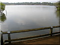
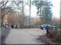
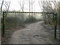
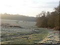
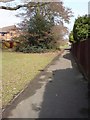
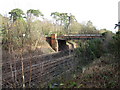
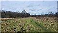
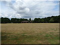

70 photos from this area
Area Information
Key information about the GU51 3AY including its size, population, and administrative classification.
- Area Type
- Postcode
- Area Size
- 44.6 hectares
- Population
- 1386
- Population Density
- 1623 people/km²
House Prices in GU51 3AY
22
Properties
£359,812
Average Sold Price
£75,000
Lowest Price
£825,000
Highest Price
Showing 22 properties
| Address | Type | Beds | Baths | Last Sale Price | Last Sale Date | |
|---|---|---|---|---|---|---|
| Toad Hall, 93A Kenilworth Road, Fleet, GU51 3AY | Detached | 4 | - | £807,500 | Feb 2023 | |
| 85 Kenilworth Road, Fleet, GU51 3AY | Maisonette | 2 | 1 | £275,300 | Aug 2022 | |
| 99 Kenilworth Road, Fleet, GU51 3AY | Maisonette | 2 | 1 | £295,000 | Jun 2022 | |
| 81 Kenilworth Road, Fleet, GU51 3AY | house | - | - | £520,000 | Feb 2021 | |
| 91 Kenilworth Road, Fleet, GU51 3AY | Bungalow | 6 | - | £650,000 | Mar 2020 | |
| 105 Kenilworth Road, Fleet, GU51 3AY | Maisonette | 2 | 1 | £257,000 | Aug 2018 | |
| 107 Kenilworth Road, Fleet, GU51 3AY | Bungalow | 2 | - | £570,500 | Jun 2017 | |
| 77 Kenilworth Road, Fleet, GU51 3AY | Detached | 5 | 3 | £825,000 | Dec 2015 | |
| 69 Kenilworth Road, Fleet, GU51 3AY | Maisonette | 2 | 1 | £383,000 | May 2012 | |
| 71 Kenilworth Road, Fleet, GU51 3AY | Maisonette | 2 | 1 | £230,000 | Sep 2011 |
Page 1 of 3
Energy Efficiency in GU51 3AY
Amenities
Schools
| Rank | School | Type | Entry gender | Ages |
|---|
Explore more schools in this area
Go to Schools tabDemographics
Household Size
Family (3-5 people)
most common
Accommodation Type
Houses
most common
Tenure
83
majority
Ethnic Group
White
most common
Religion
N/A
most common
Household Composition
N/A
most common
Age
47
median
Adults (30-64 years)
most common
Household Deprivation
N/A
with no deprivation
NS-SEC
54
in Lower managerial occupations
Explore more demographic insights in this area
Go to Demographics tabPlanning
Planning Constraints
- Flood RiskPremium
- Ramsar Wetland SitesPremium
- Area of Outstanding Natural BeautyPremium
- Protected Nature ReservePremium
- Protected WoodlandPremium