Area Overview for GU5 9QW
Photos of GU5 9QW
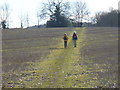
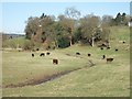
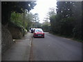
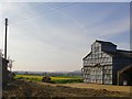

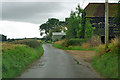
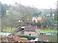
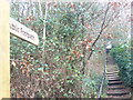
34 photos from this area
Area Information
Key information about the GU5 9QW including its size, population, and administrative classification.
- Area Type
- Postcode
- Area Size
- 1.0 km²
- Population
- 1997
- Population Density
- 154 people/km²
House Prices in GU5 9QW
26
Properties
£1,328,330
Average Sold Price
£415,000
Lowest Price
£3,042,000
Highest Price
Showing 26 properties
| Address | Type | Beds | Baths | Last Sale Price | Last Sale Date | |
|---|---|---|---|---|---|---|
| Westaway, Lawbrook Lane, Peaslake, GU5 9QW | Detached | - | - | £850,000 | Aug 2025 | |
| Running Hook, Lawbrook Lane, Peaslake, GU5 9QW | Detached | 6 | 5 | £1,650,000 | Dec 2021 | |
| Anchusa Cottage, Lawbrook Lane, Peaslake, GU5 9QW | Detached | 3 | 2 | £770,000 | Jul 2020 | |
| Little Romanys, Lawbrook Lane, Peaslake, GU5 9QW | Detached | 4 | - | £1,175,000 | Oct 2019 | |
| The Cottage, Lawbrook Lane, Peaslake, GU5 9QW | Semi-detached | 3 | 1 | £583,000 | Sep 2019 | |
| East Barn, Lawbrook Lane, Gomshall, GU5 9QW | Detached | - | - | £1,729,971 | Oct 2017 | |
| The Pangolin, Lawbrook Lane, Peaslake, GU5 9QW | Detached | 5 | 4 | £3,042,000 | Sep 2016 | |
| Southernwood, Lawbrook Lane, Peaslake, GU5 9QW | Detached | 6 | 2 | £1,740,000 | Mar 2015 | |
| Springfold, Lawbrook Lane, Peaslake, GU5 9QW | Detached | - | - | £415,000 | Feb 1997 | |
| Housemasters House, Lawbrook Lane, Peaslake, GU5 9QW | Detached | 5 | 4 | - | - |
Page 1 of 3
Energy Efficiency in GU5 9QW
Amenities
Schools
| Rank | School | Type | Entry gender | Ages |
|---|
Explore more schools in this area
Go to Schools tabDemographics
Household Size
Two person
most common
Accommodation Type
Houses
most common
Tenure
88
majority
Ethnic Group
White
most common
Religion
N/A
most common
Household Composition
N/A
most common
Age
47
median
Adults (30-64 years)
most common
Household Deprivation
N/A
with no deprivation
NS-SEC
53
in Lower managerial occupations
Explore more demographic insights in this area
Go to Demographics tabPlanning
Planning Constraints
- Flood RiskPremium
- Ramsar Wetland SitesPremium
- Area of Outstanding Natural BeautyPremium
- Protected Nature ReservePremium